One of the easternmost South Rim trails, leading to an old copper mine
1 GRANDVIEW TRAIL
2
3
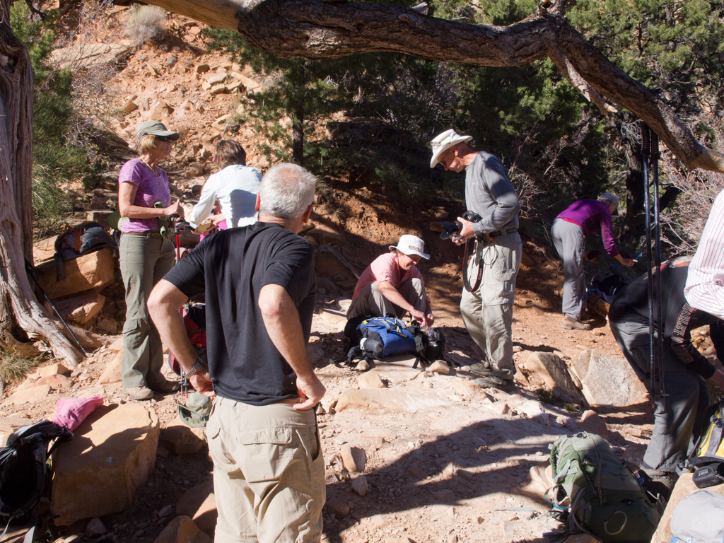
4 The trailhead sign
5
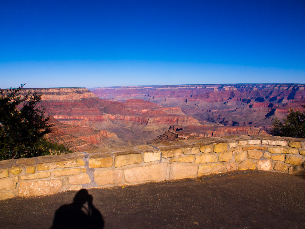
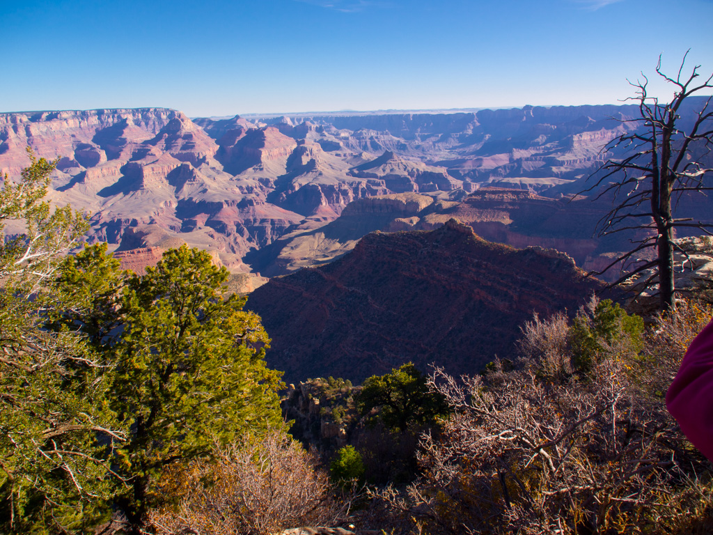
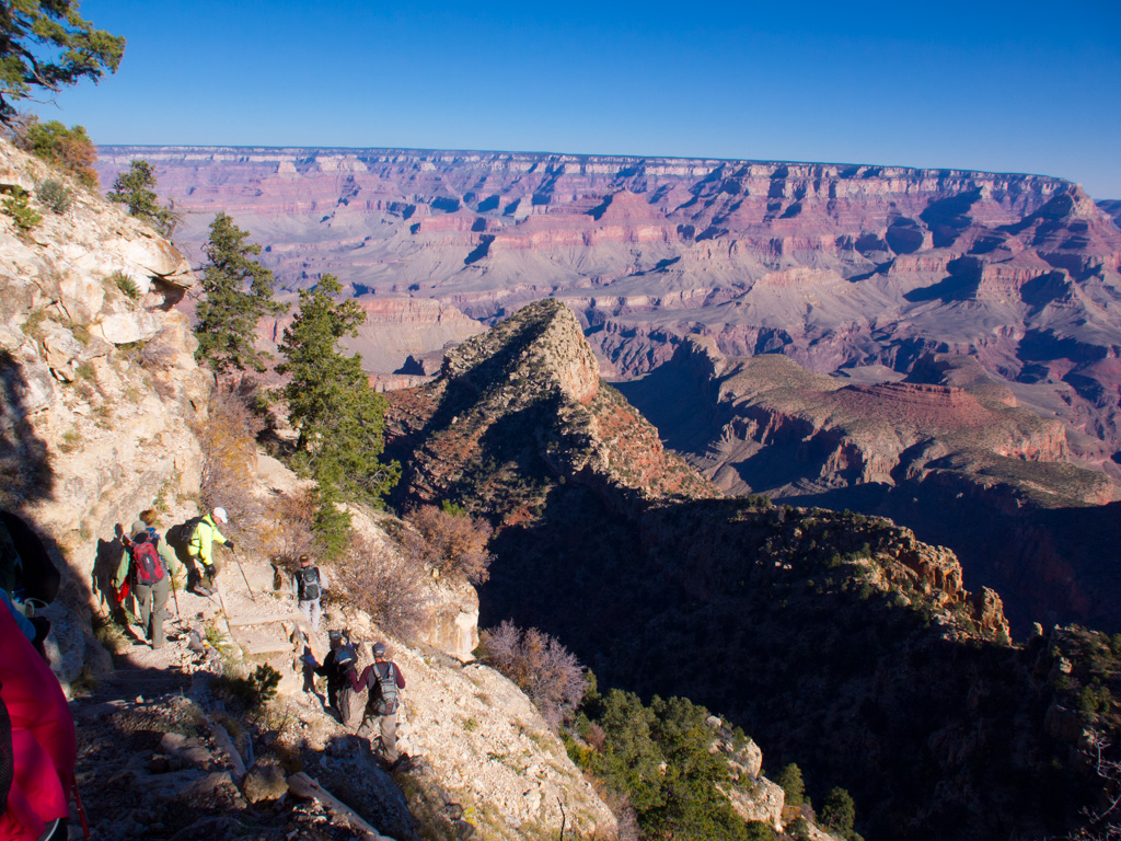
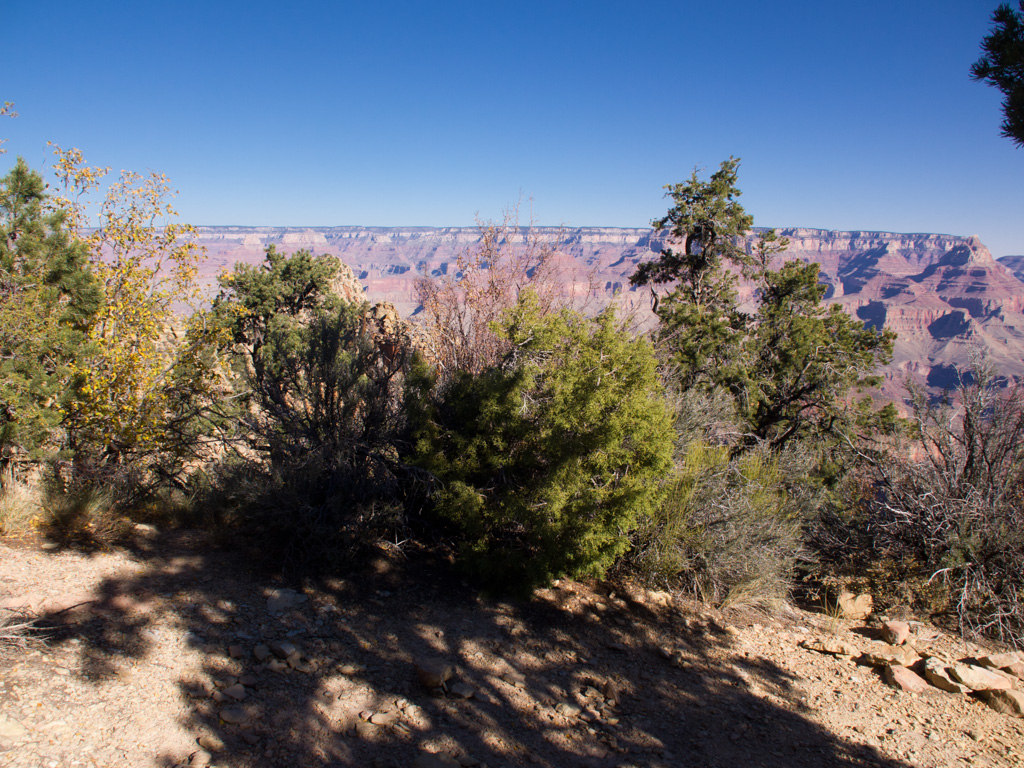
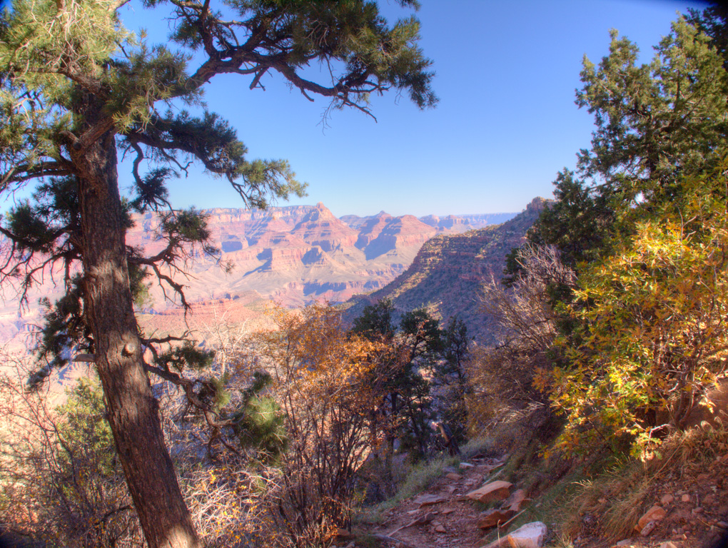
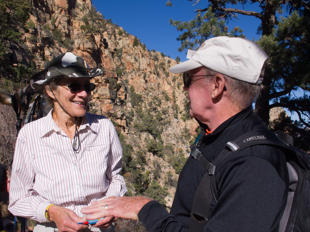
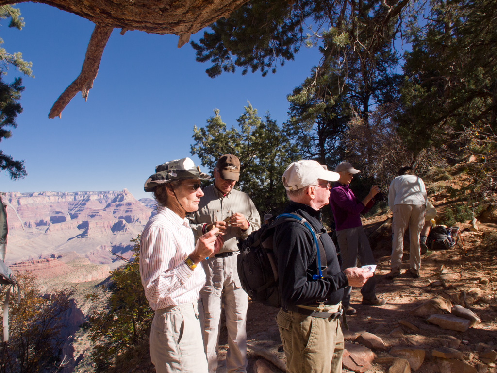
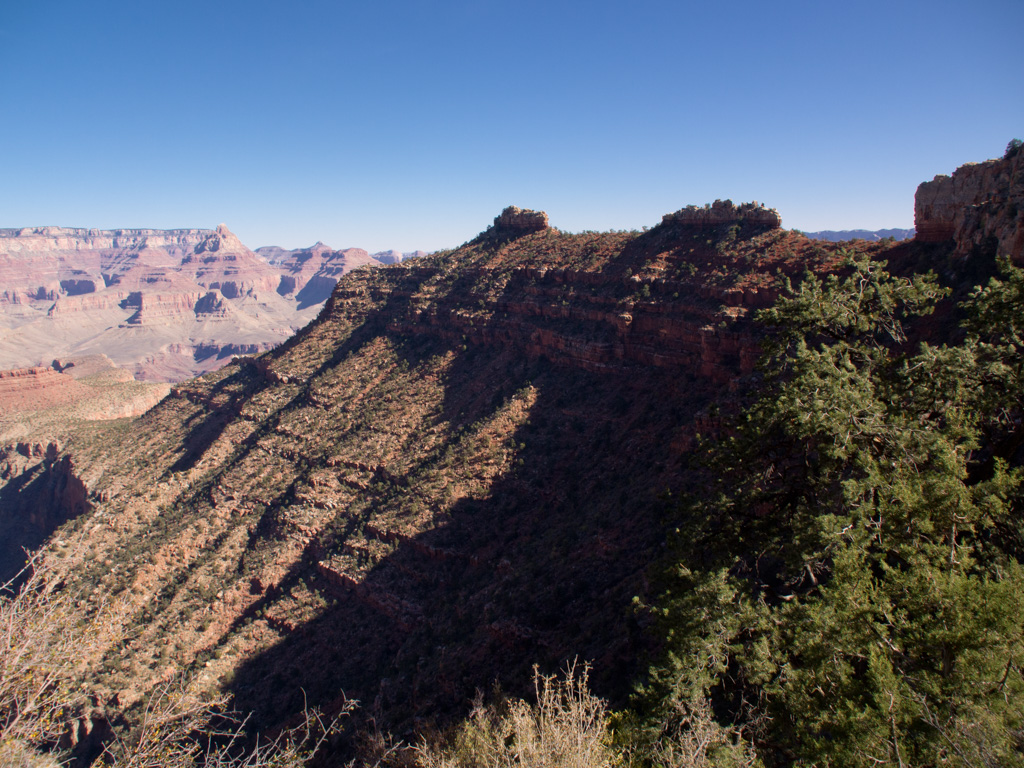
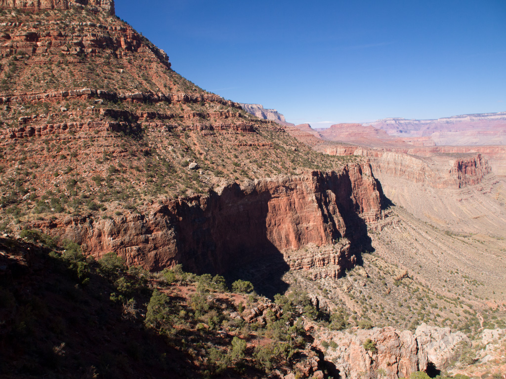
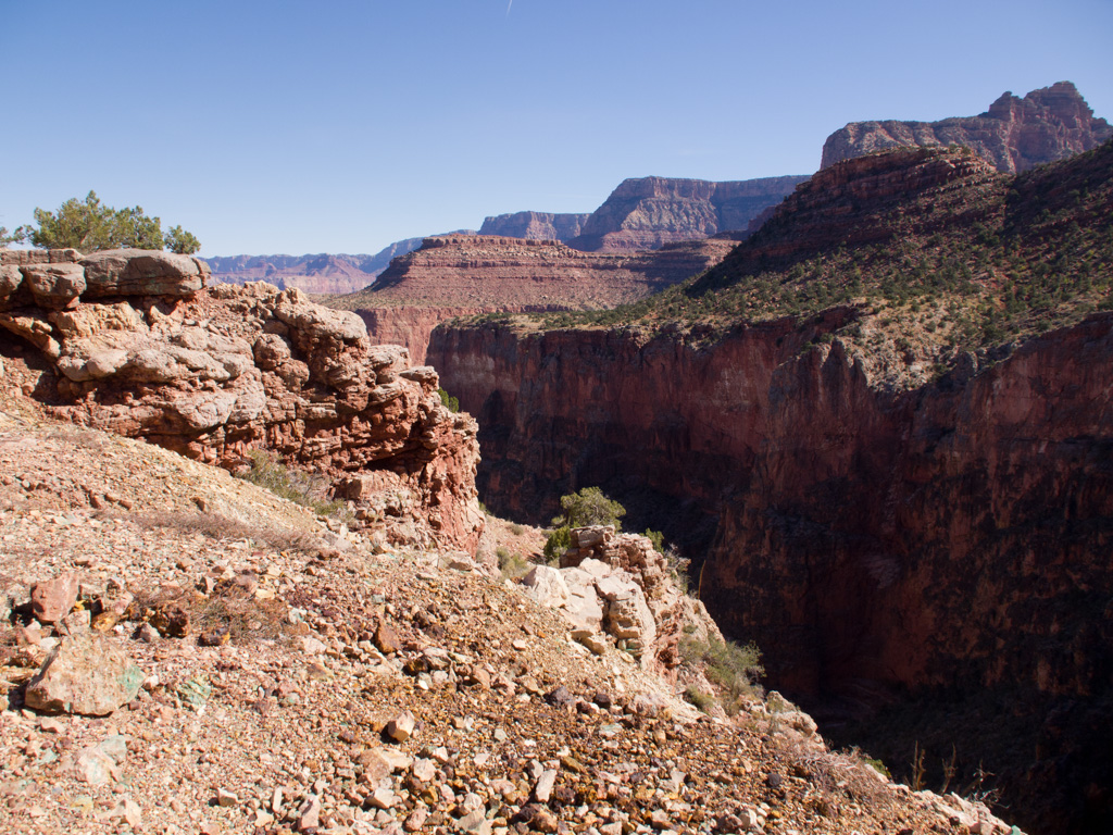
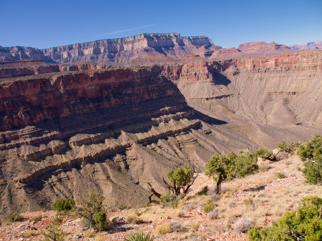
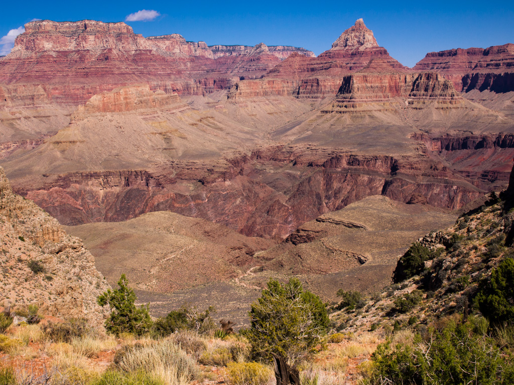
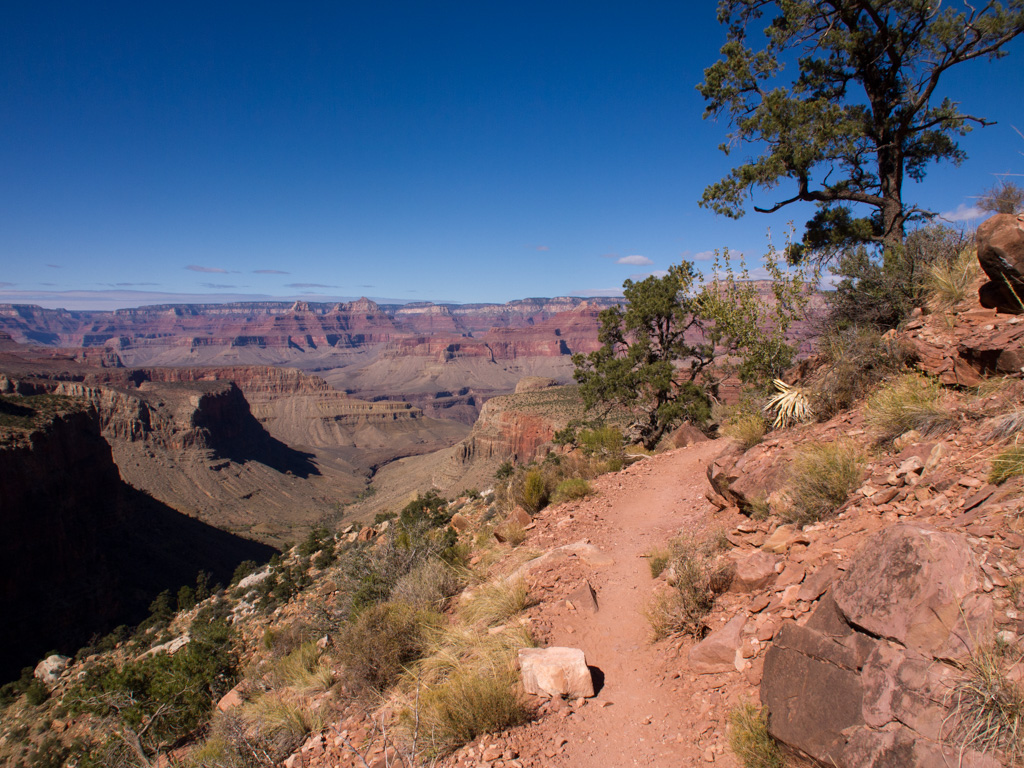
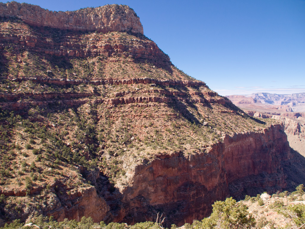
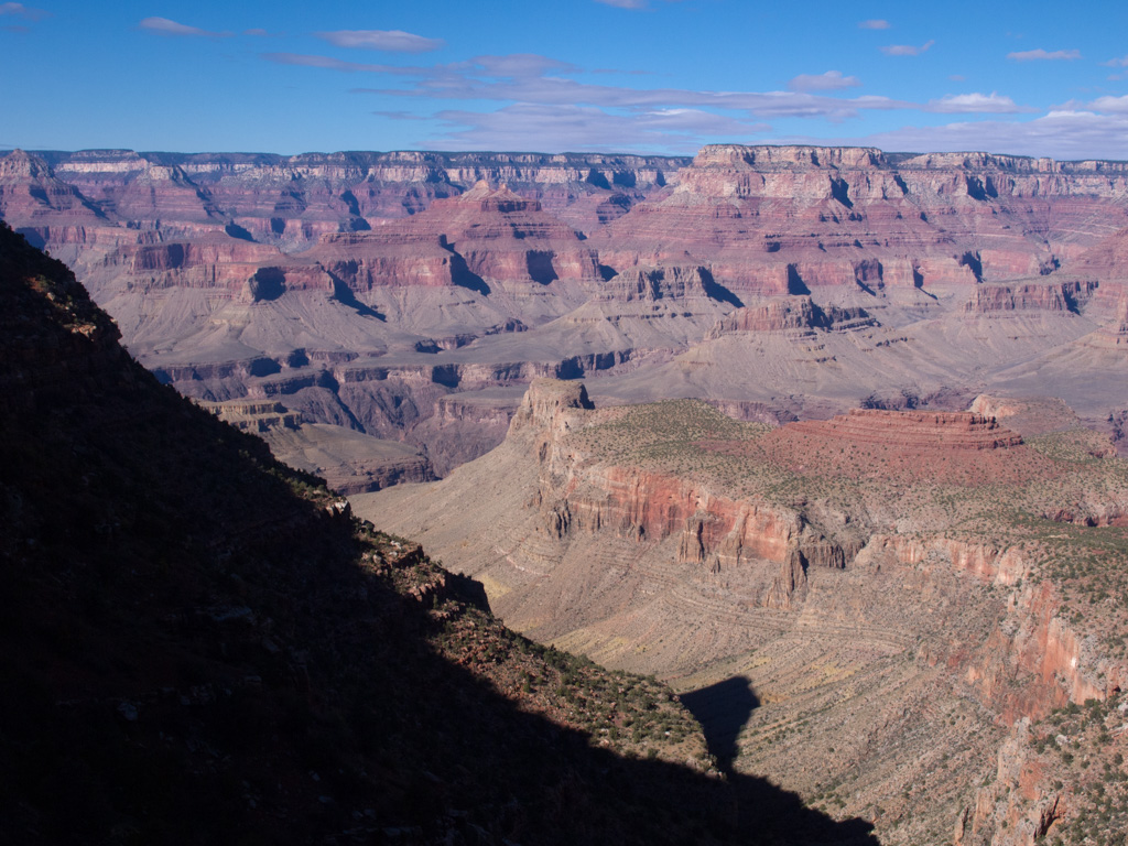
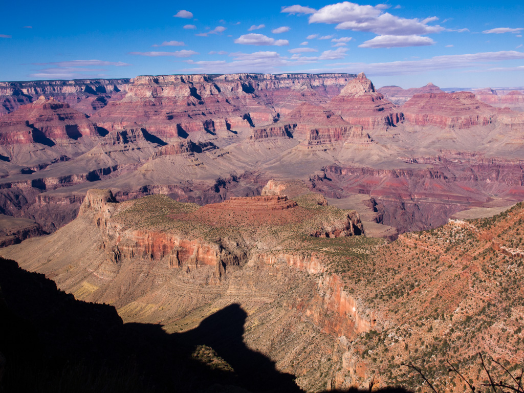
6 9 am: First view over the rim
7
8
9
10
11
12
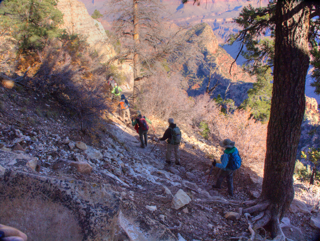
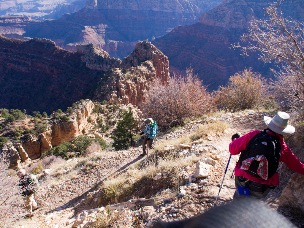
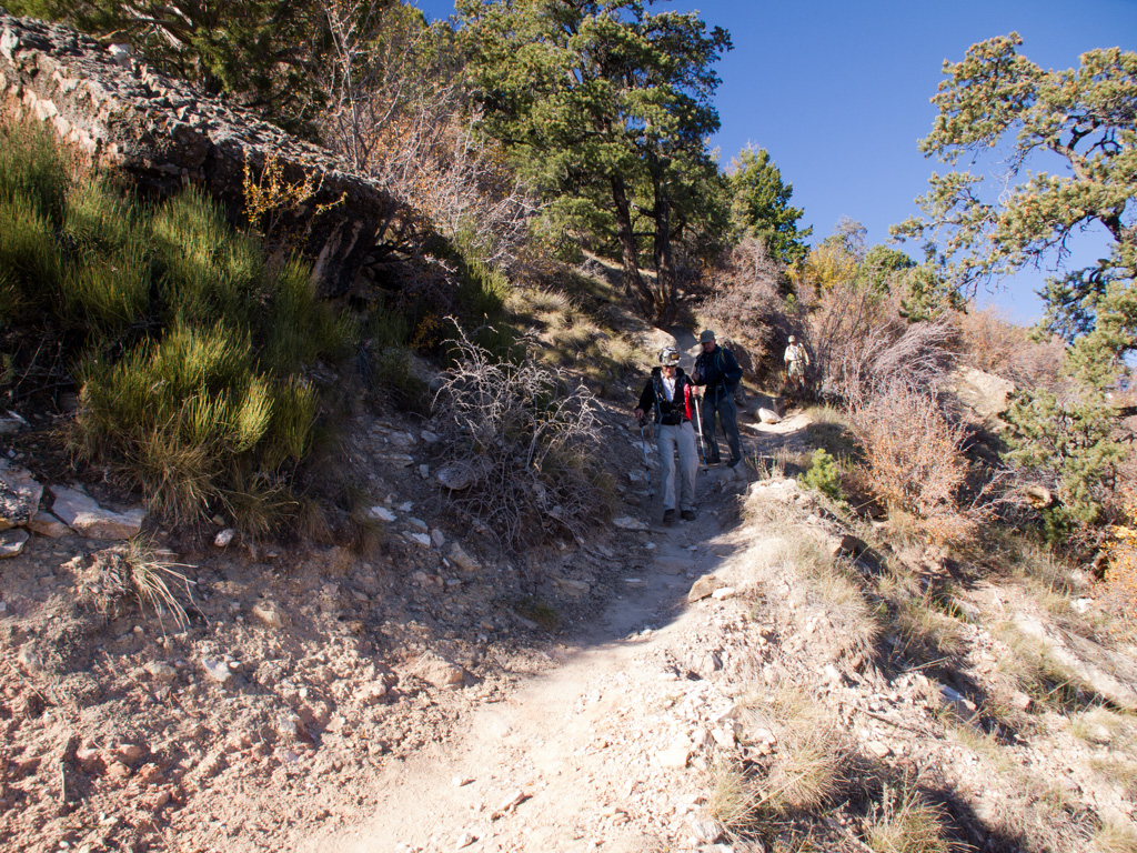
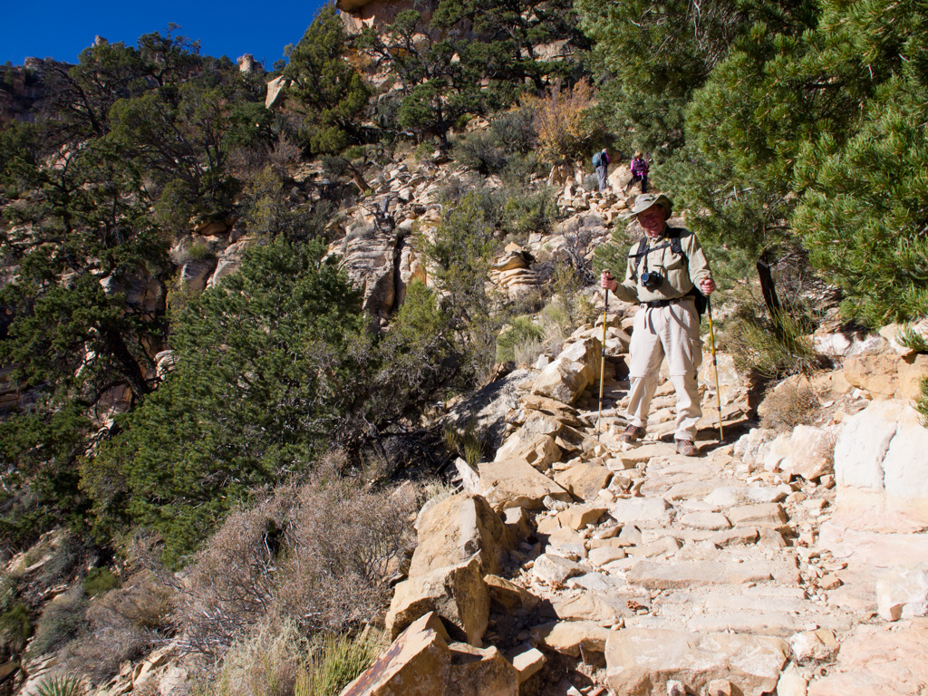
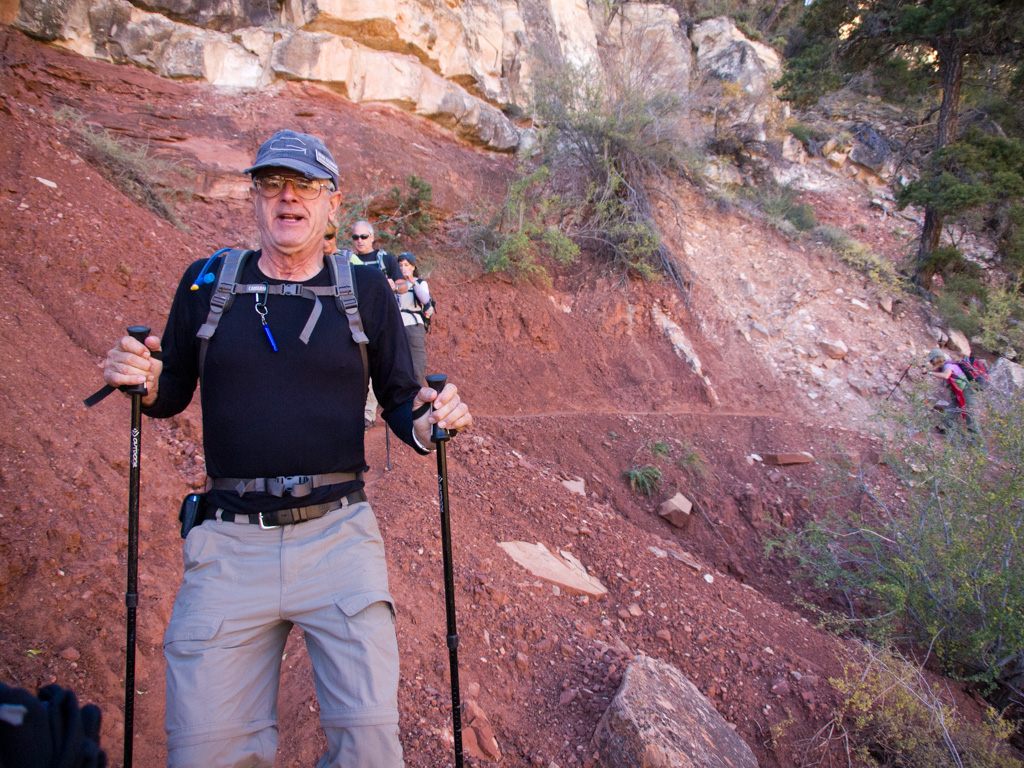
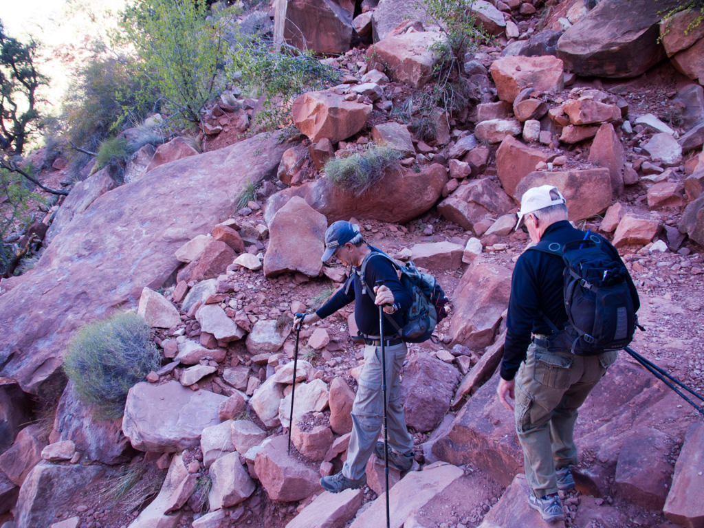
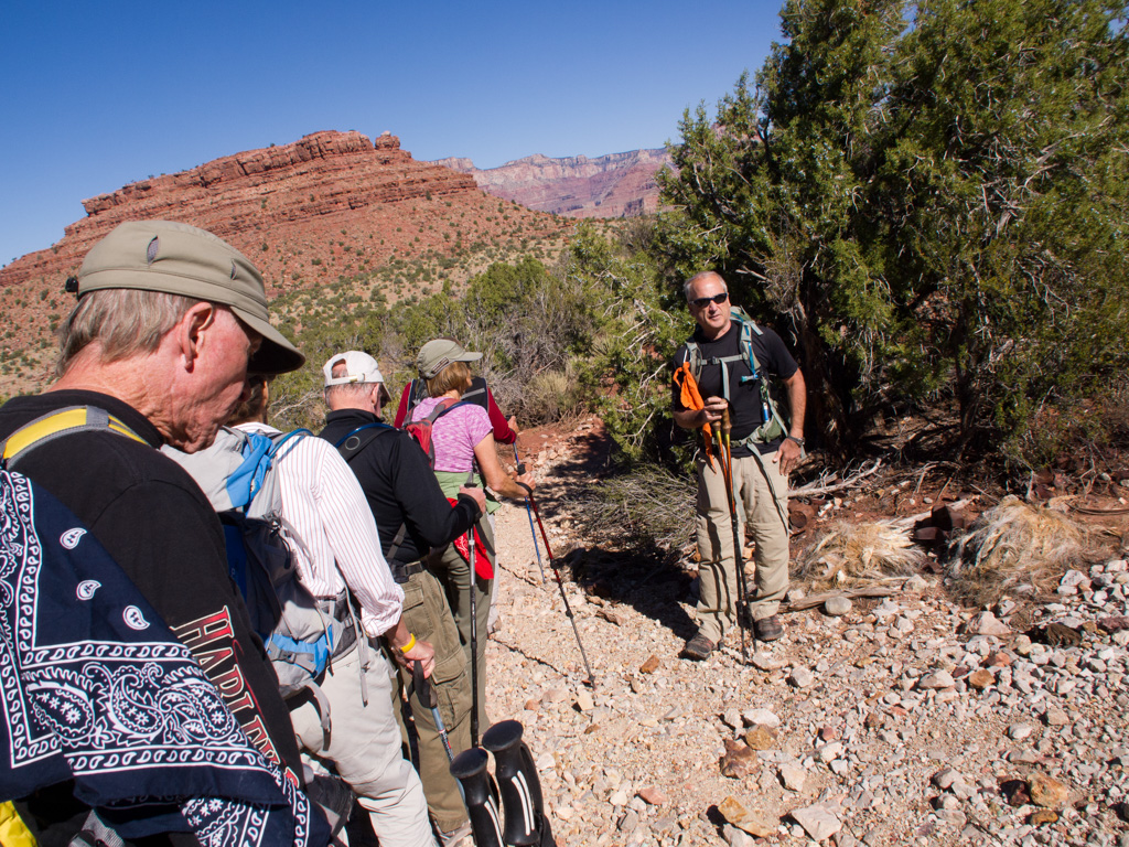
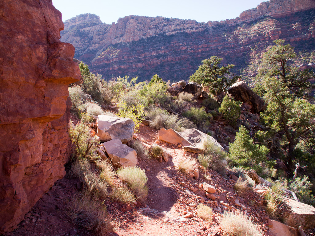
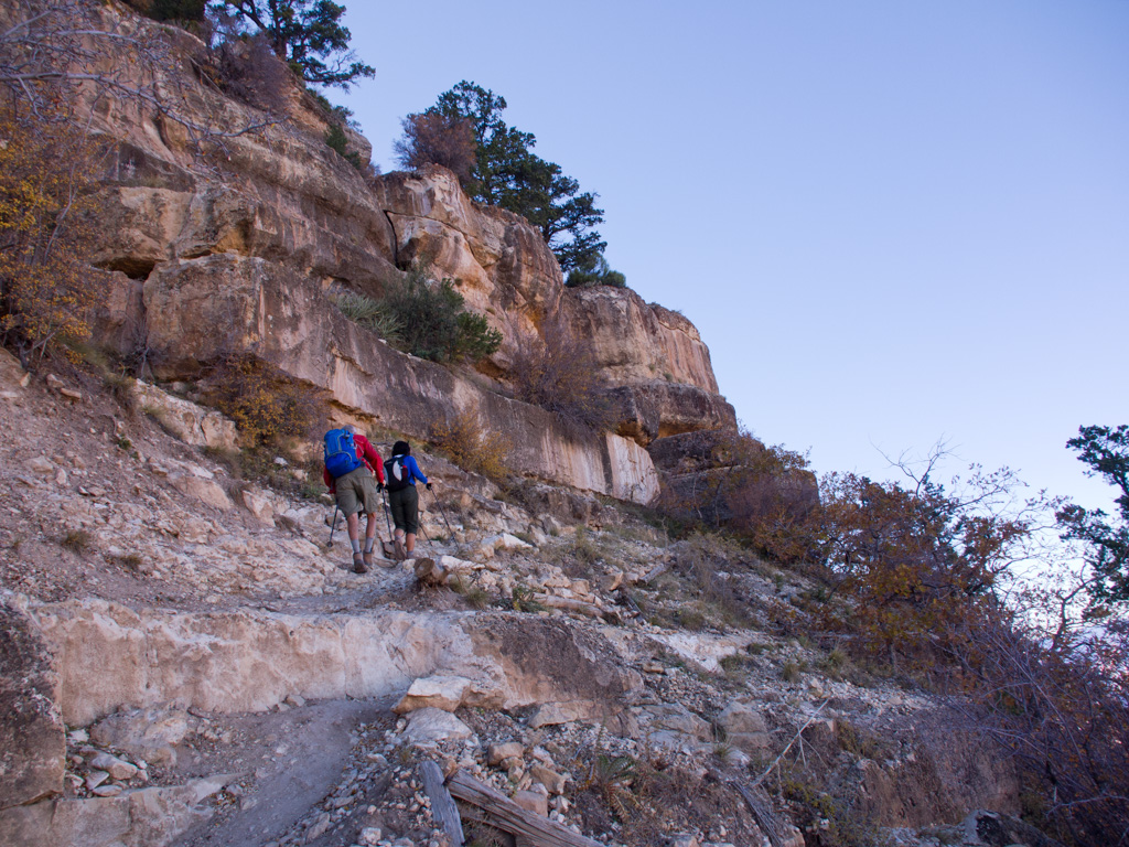
13 Starting down. The descent is very steep.
14
15
16
17
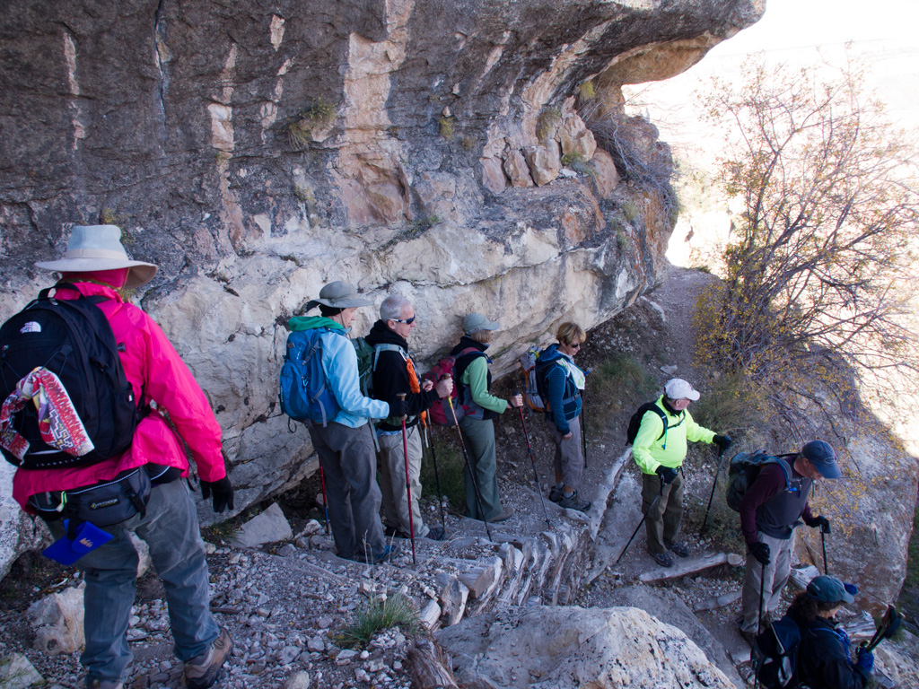
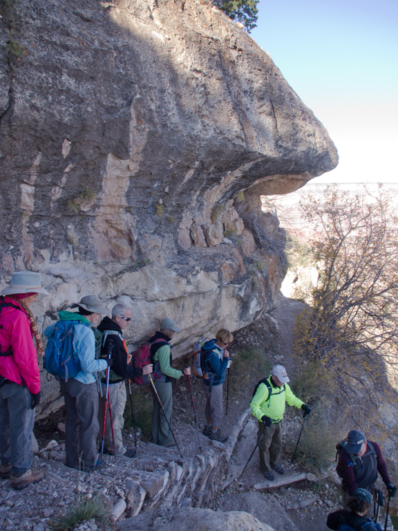
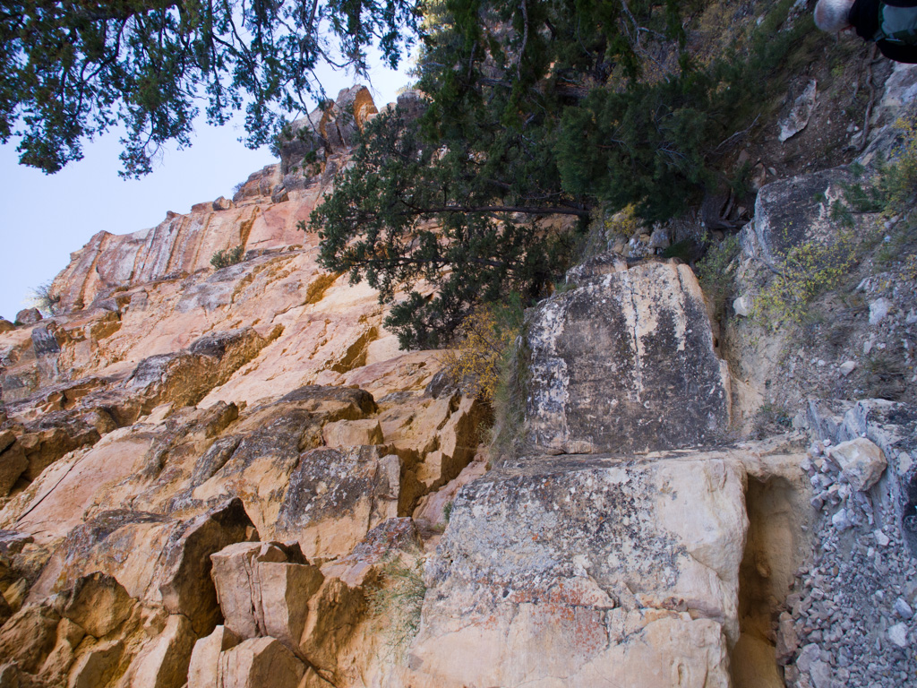
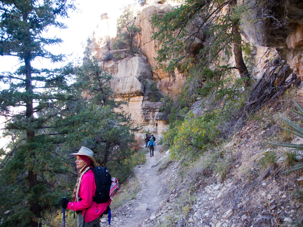
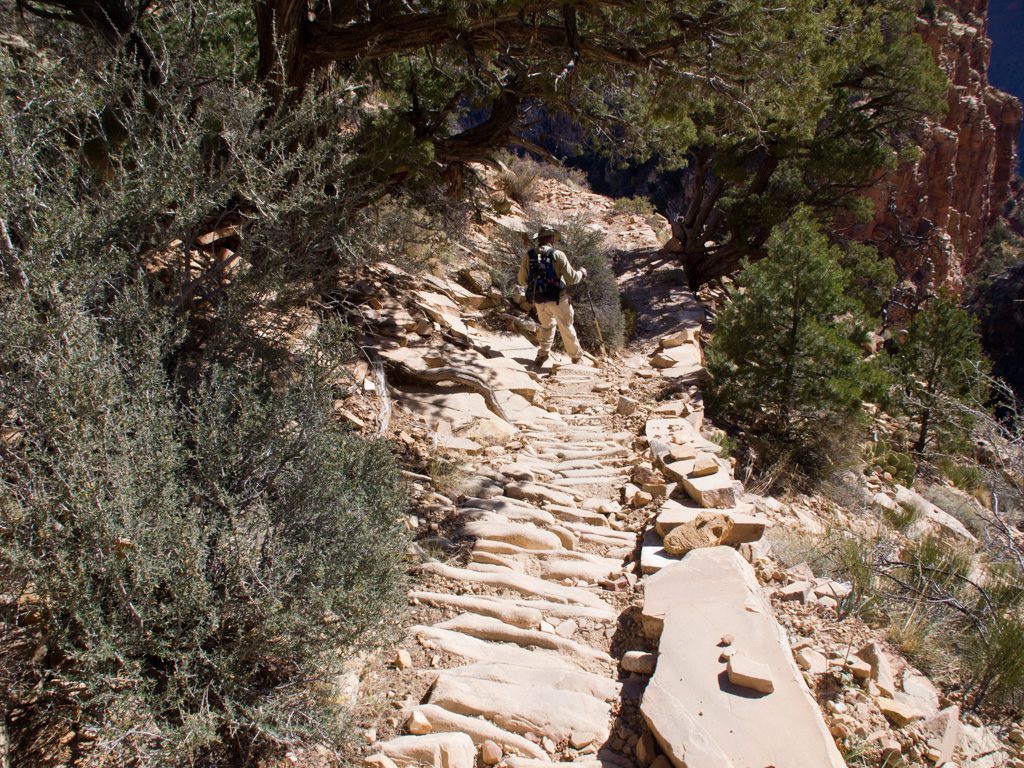
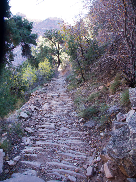
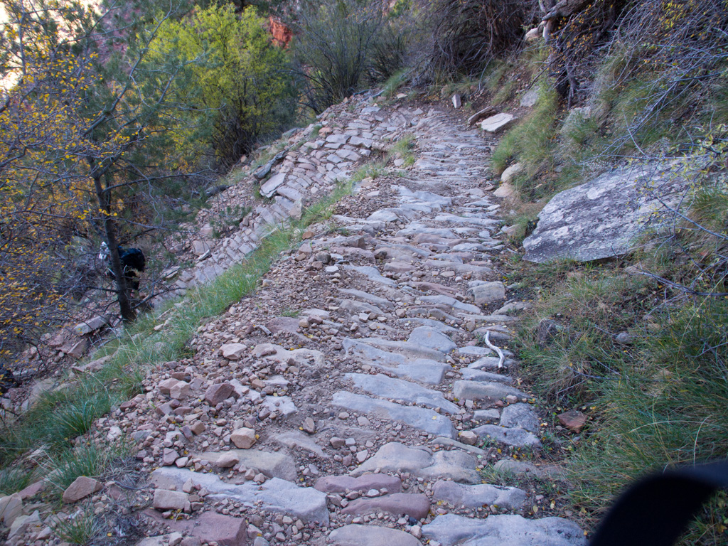
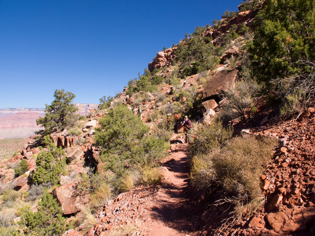
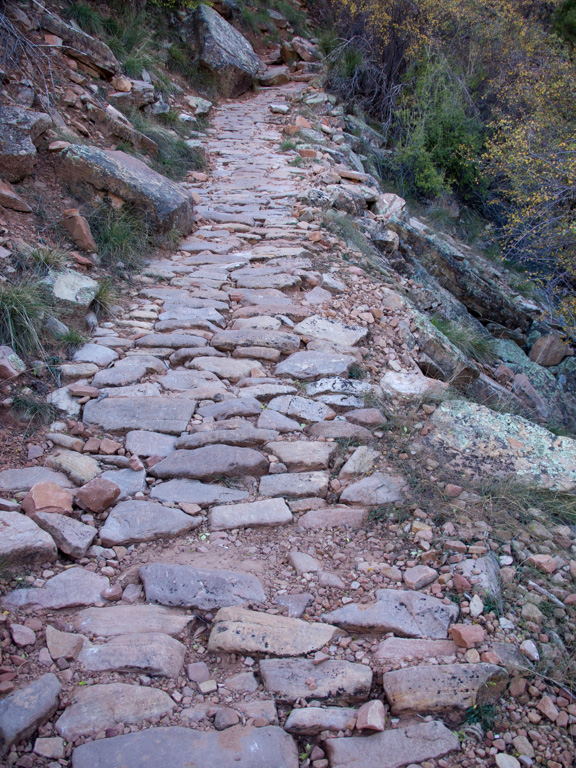
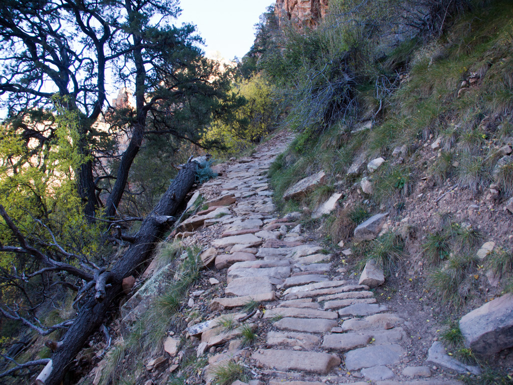
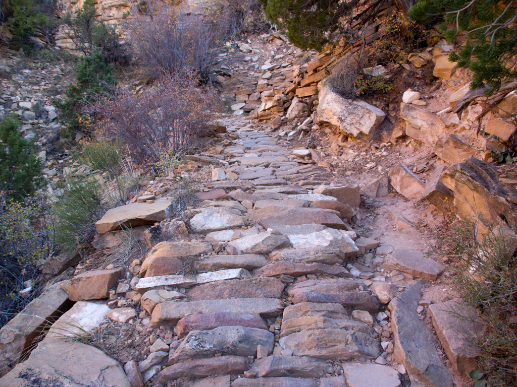
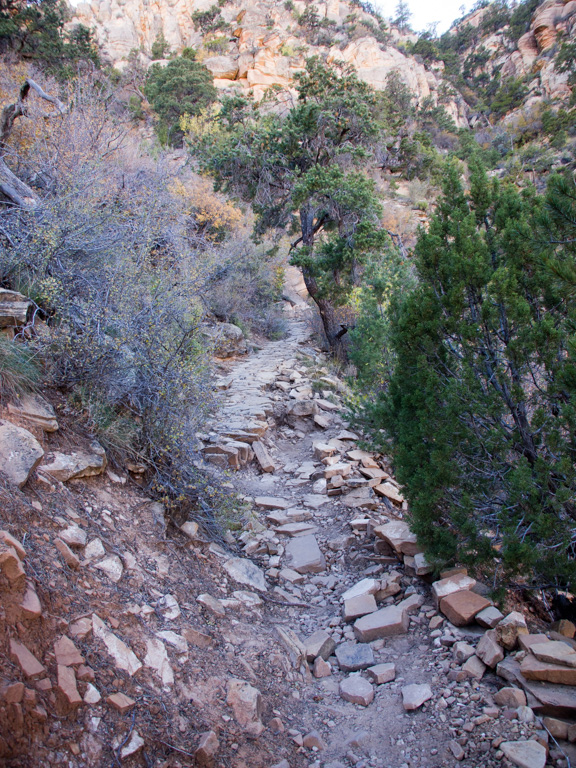
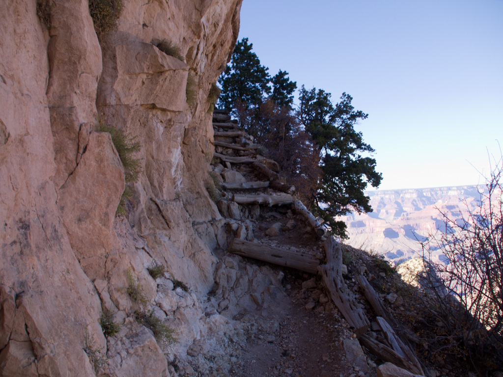
18 The first section is the trail is conventional Parks Service stairstep construction
19
20
21
22
23
24
25
26
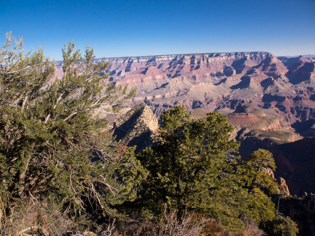
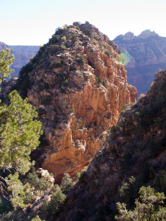
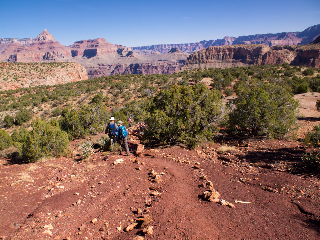
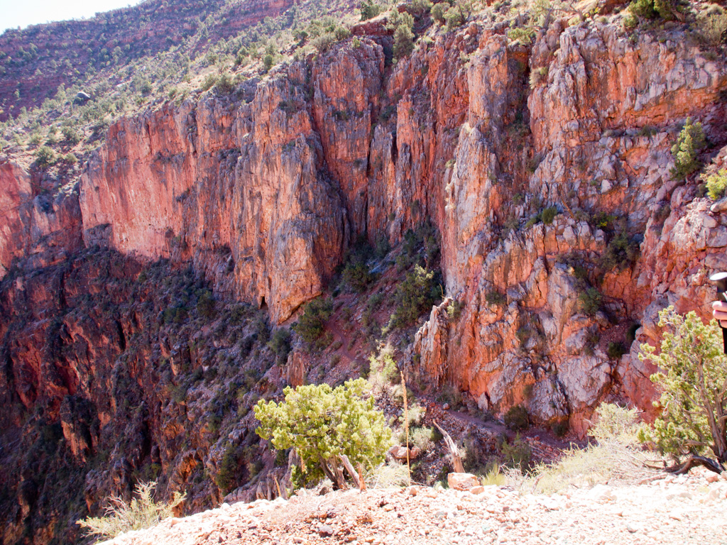
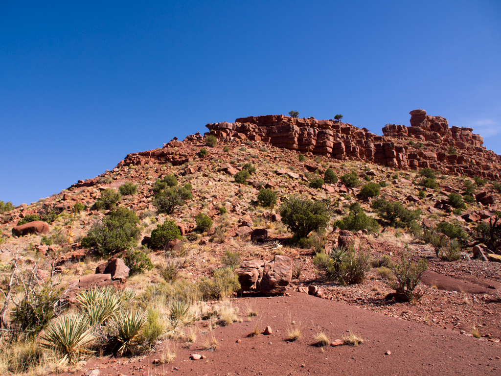
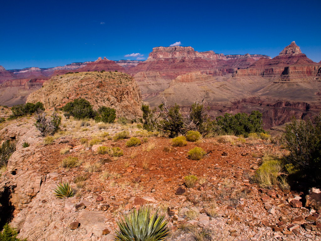
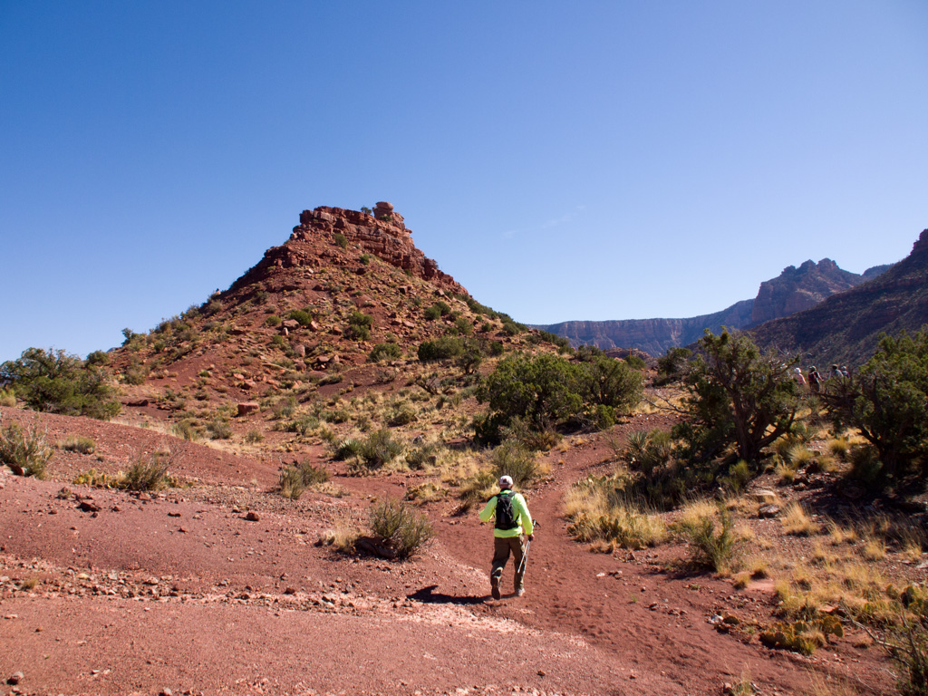
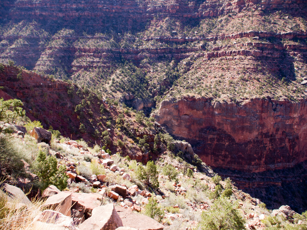
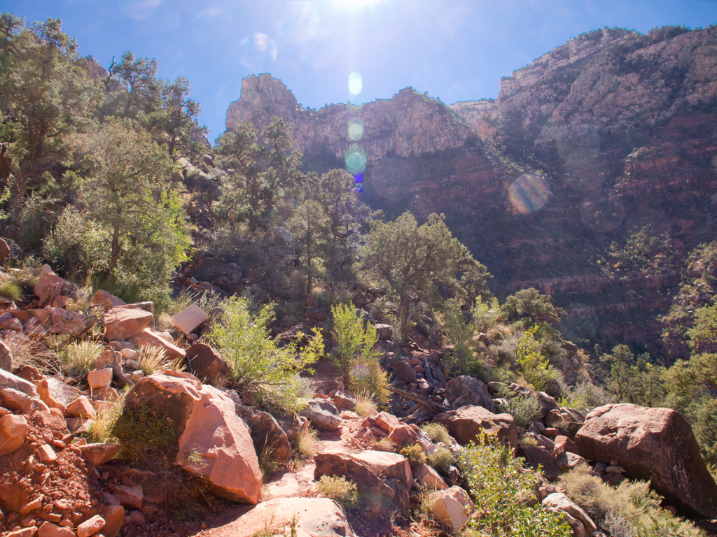
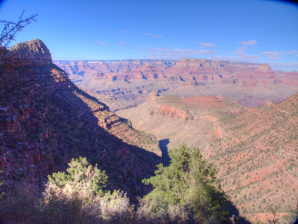
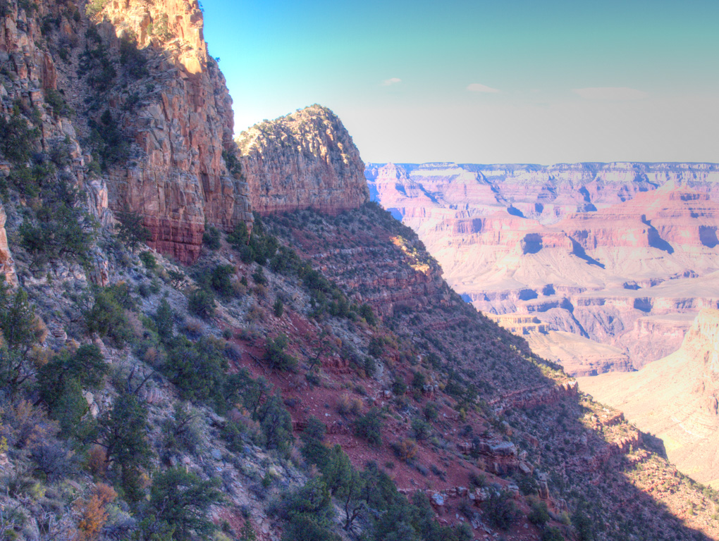
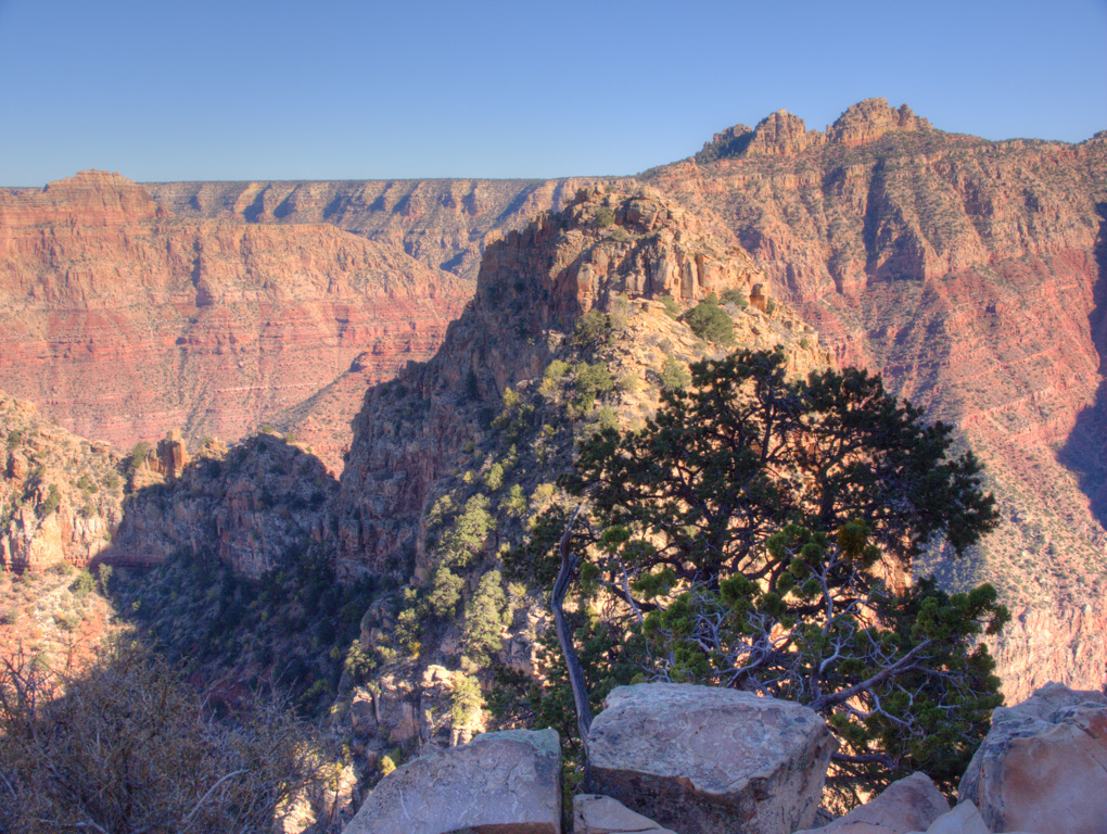
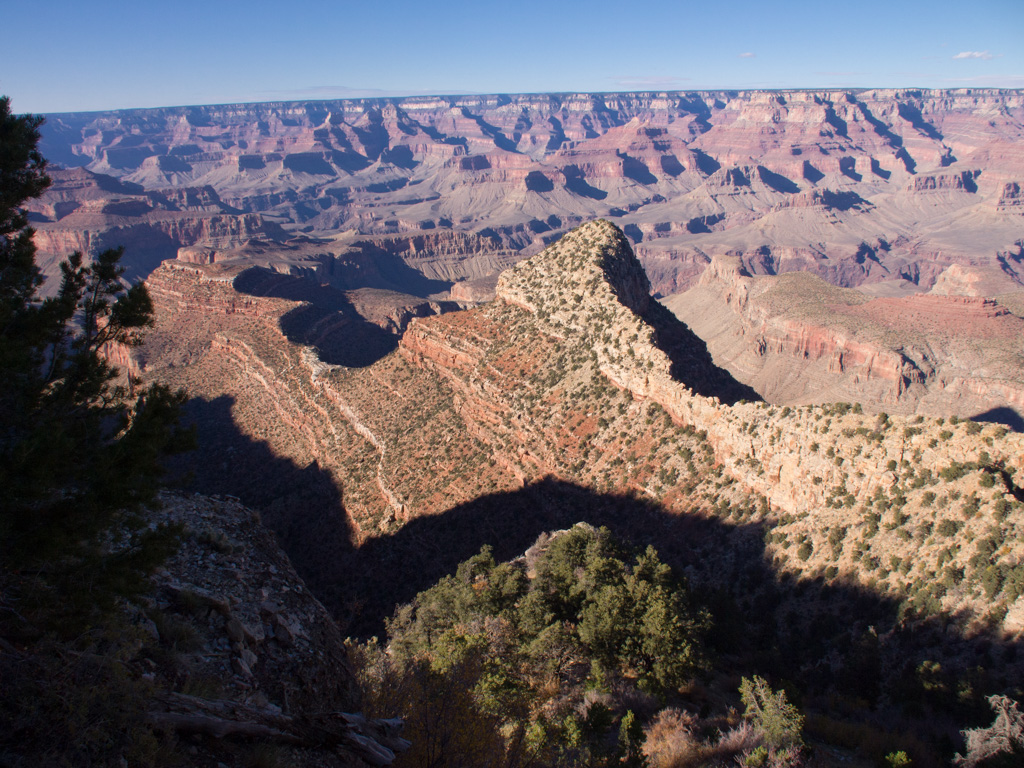
27 We will be aiming for a small notch to one side of this conical hill
28
29
30
31
32
33
34
35
36
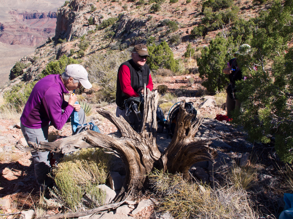
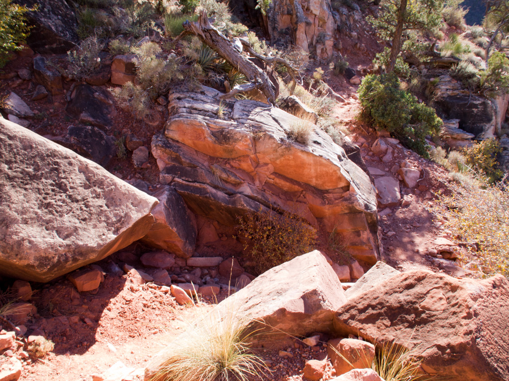
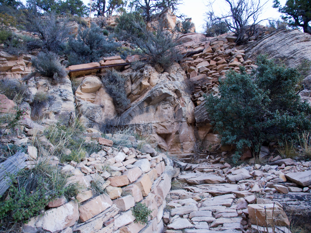
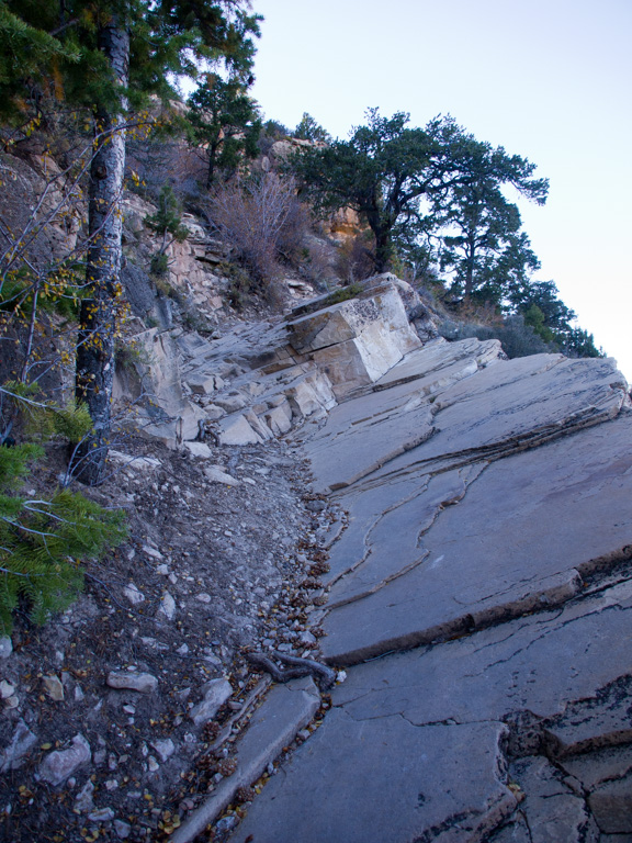
37 The original stone corduroy construction, designed to allow ,ules sure footing with heavy loads of ore
38
39
40
41
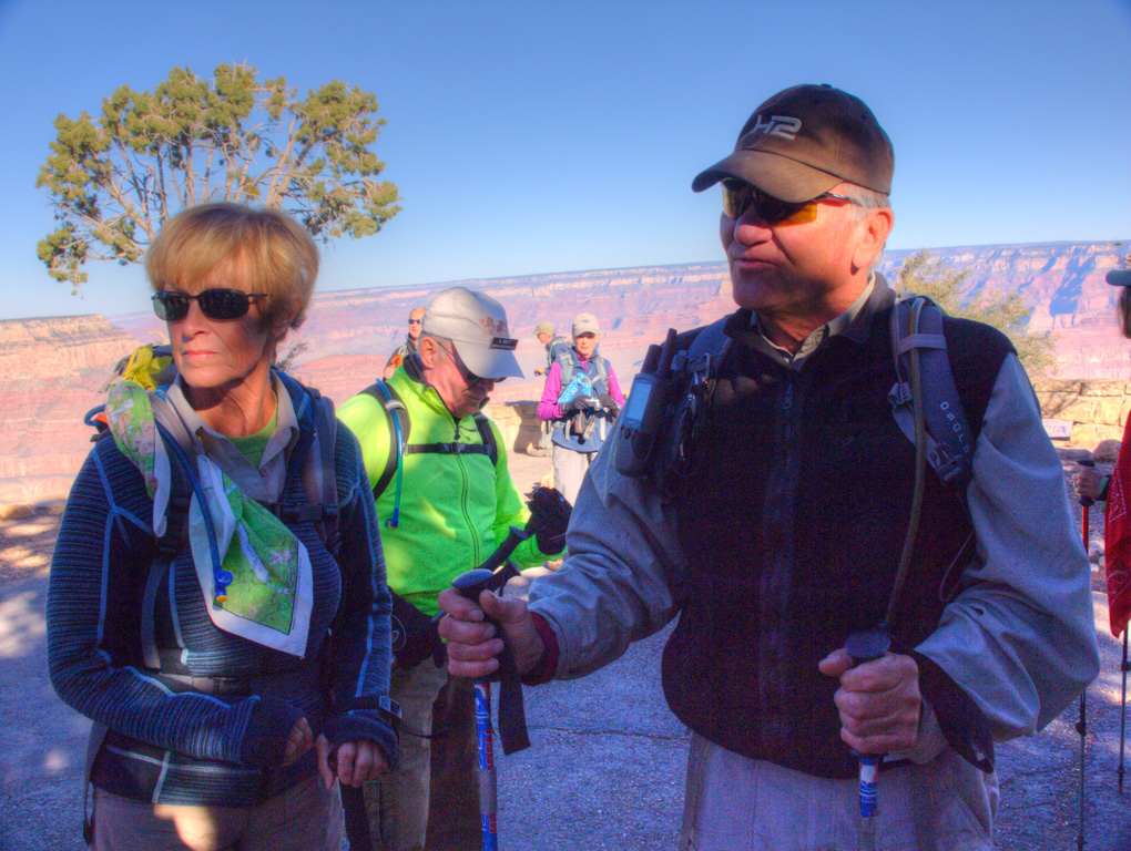
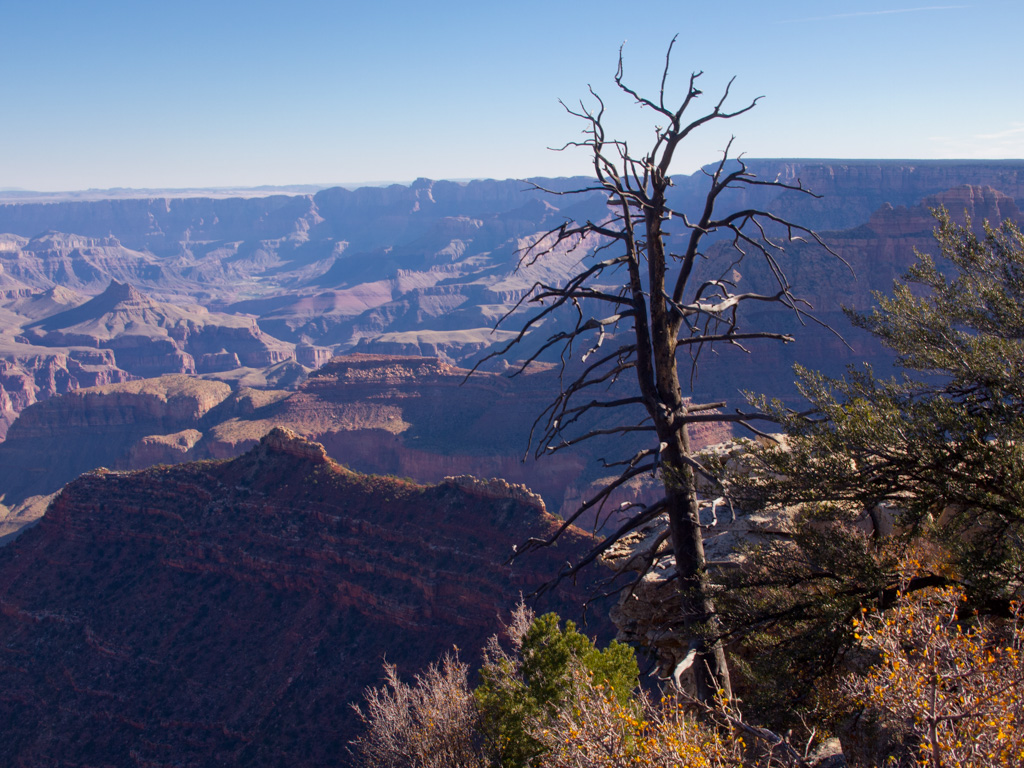
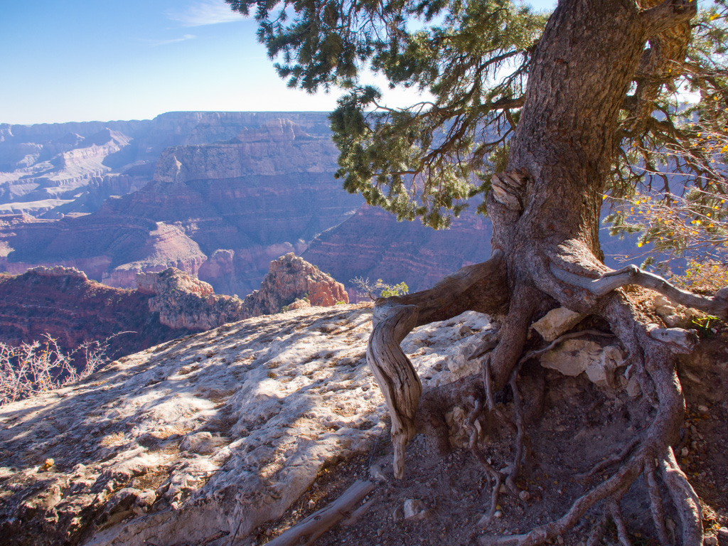
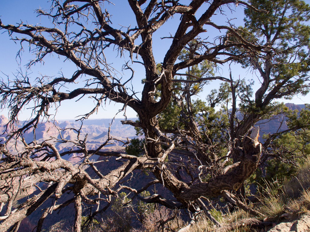
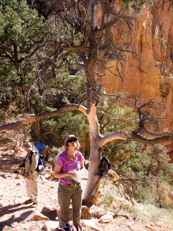
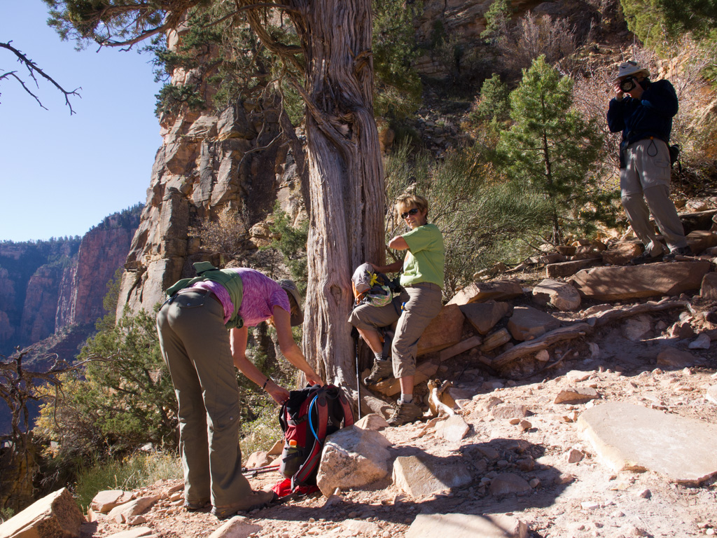
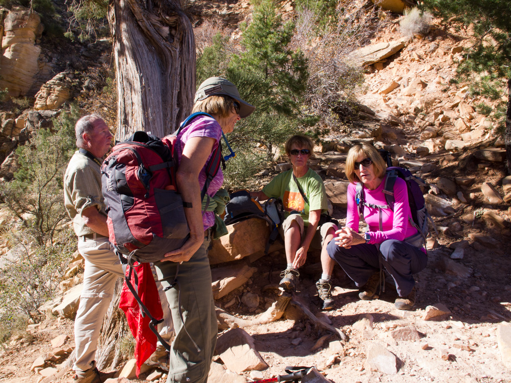
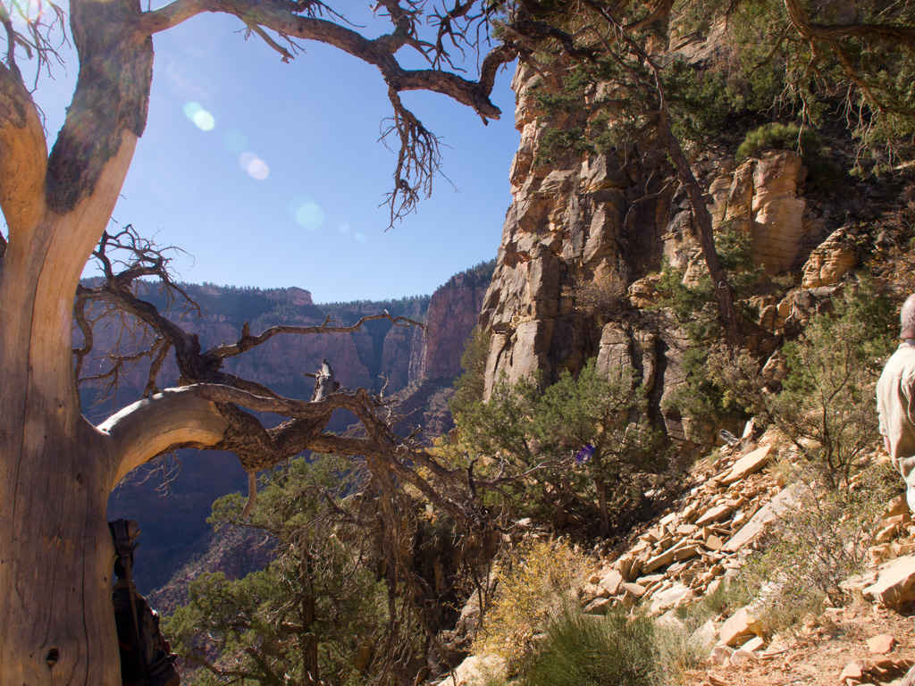
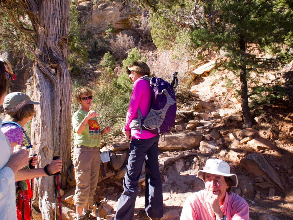
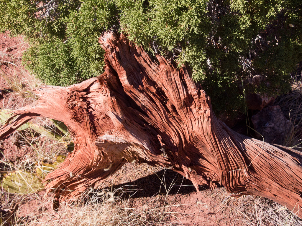
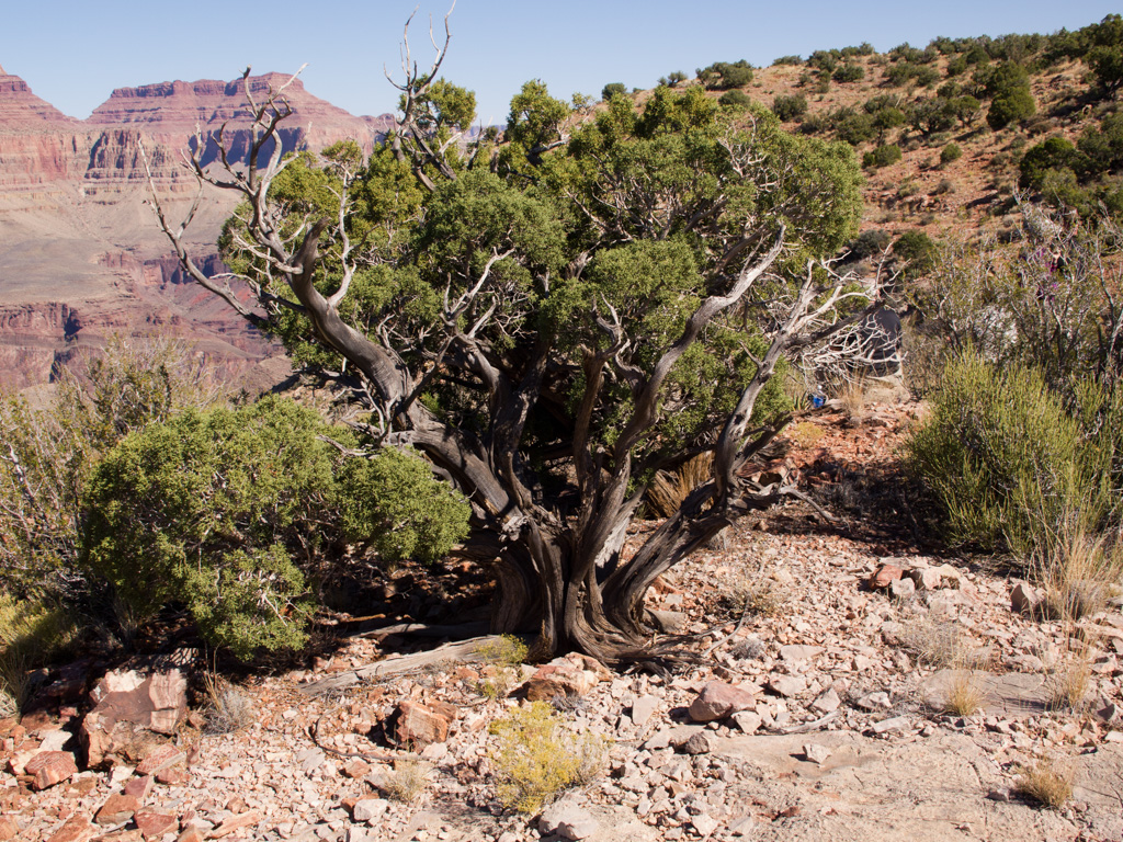
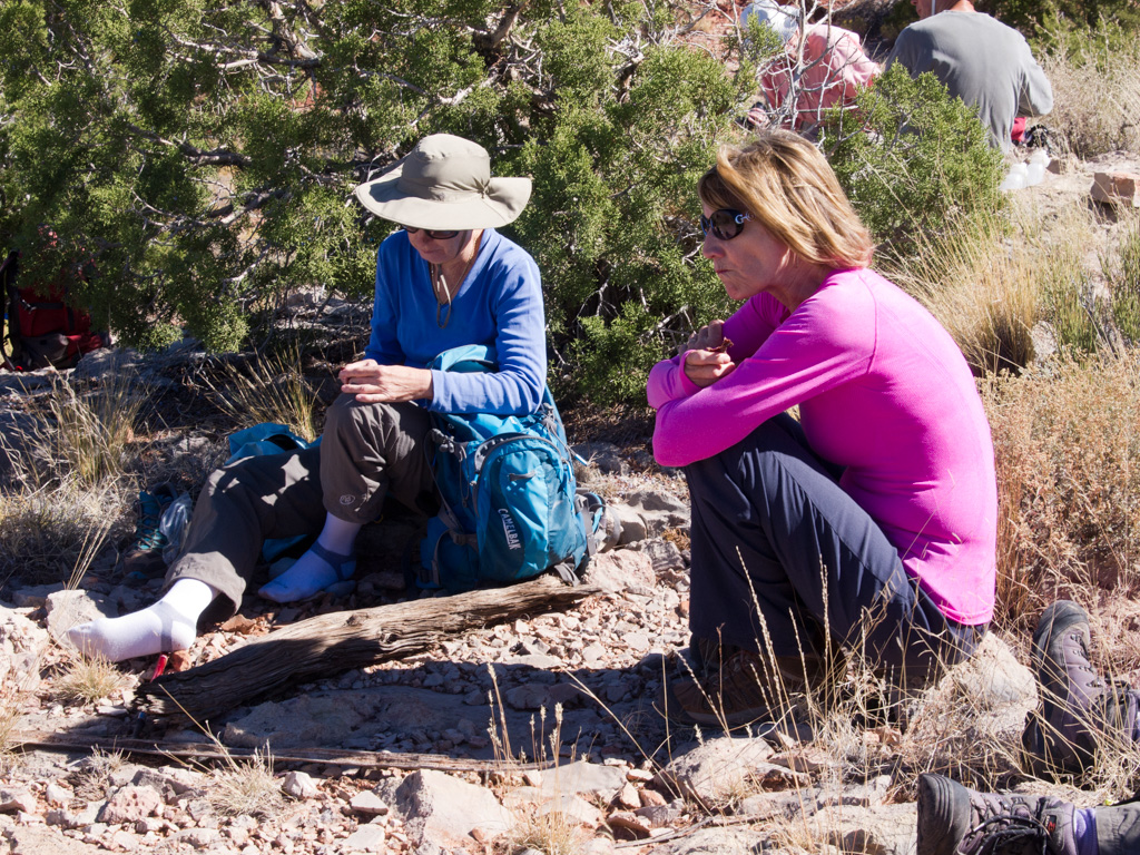
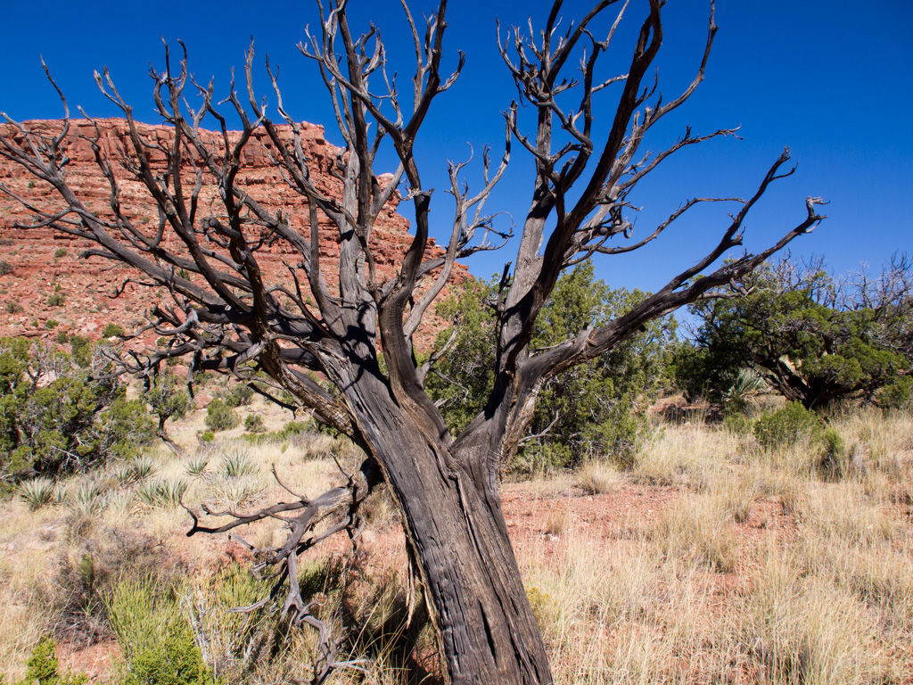
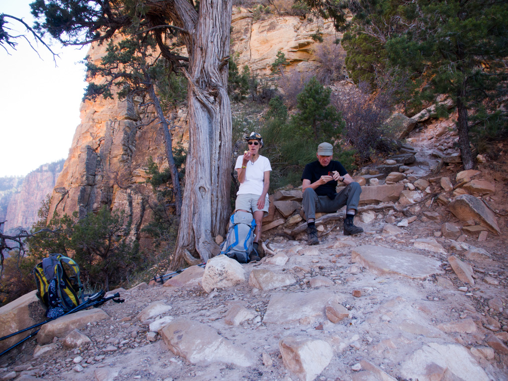
42 Beside the mound, the "photo tree" is our first break
43
44
45
46
47
48
49
50
51
52
53
54
55
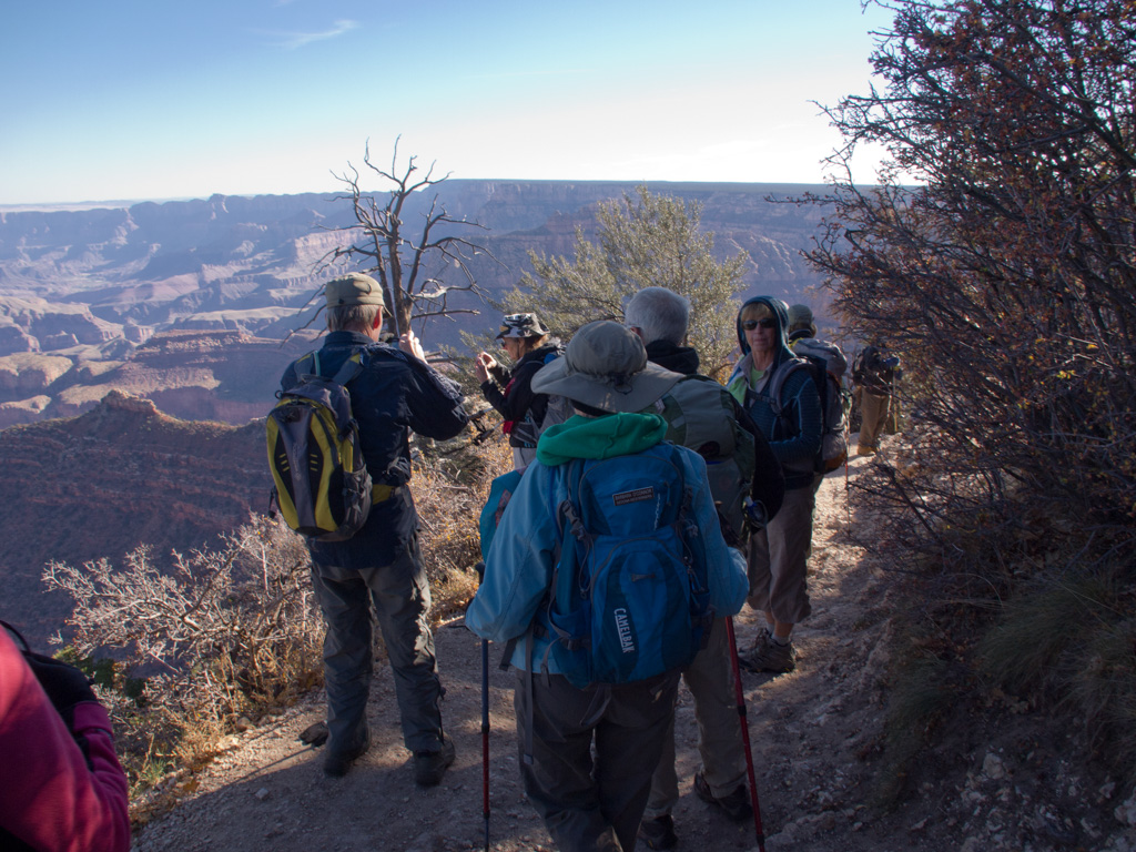
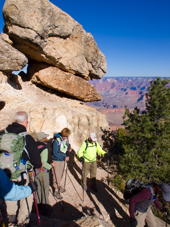
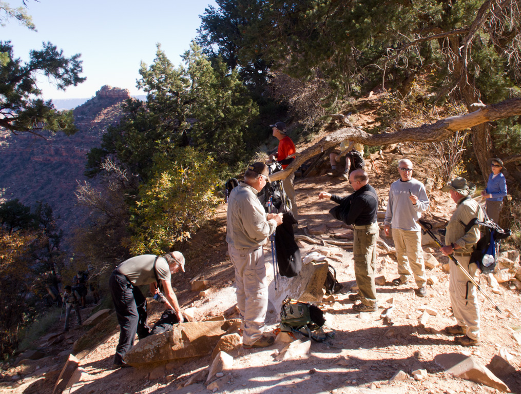
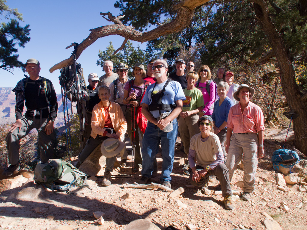
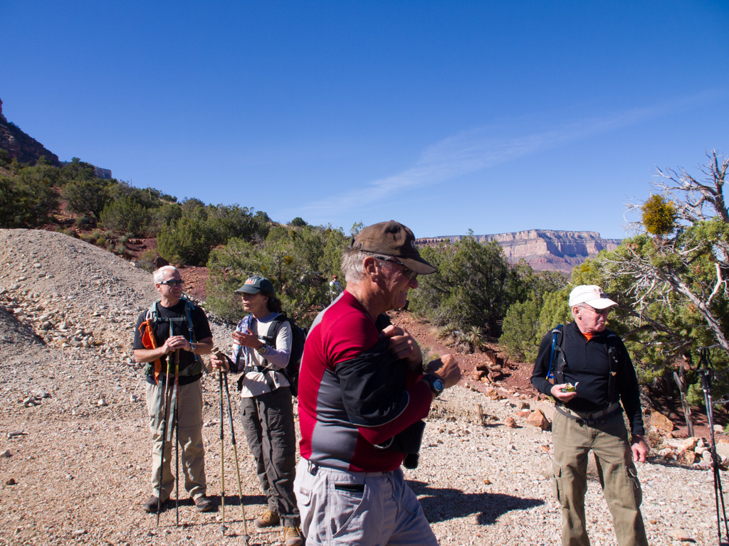
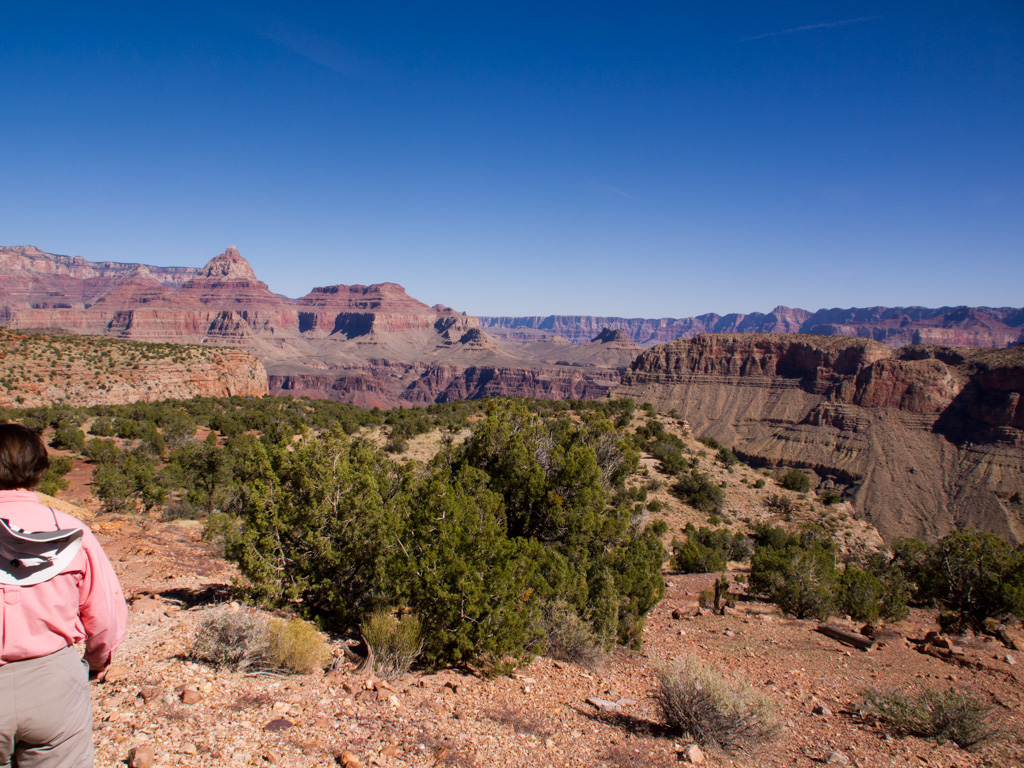
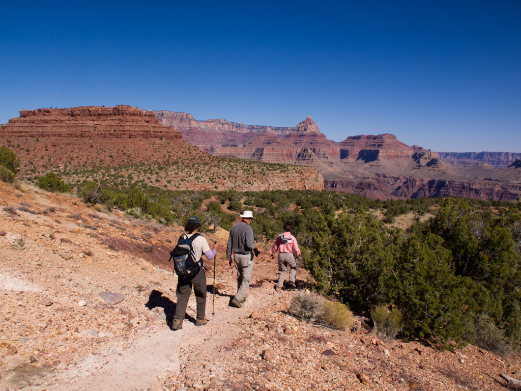
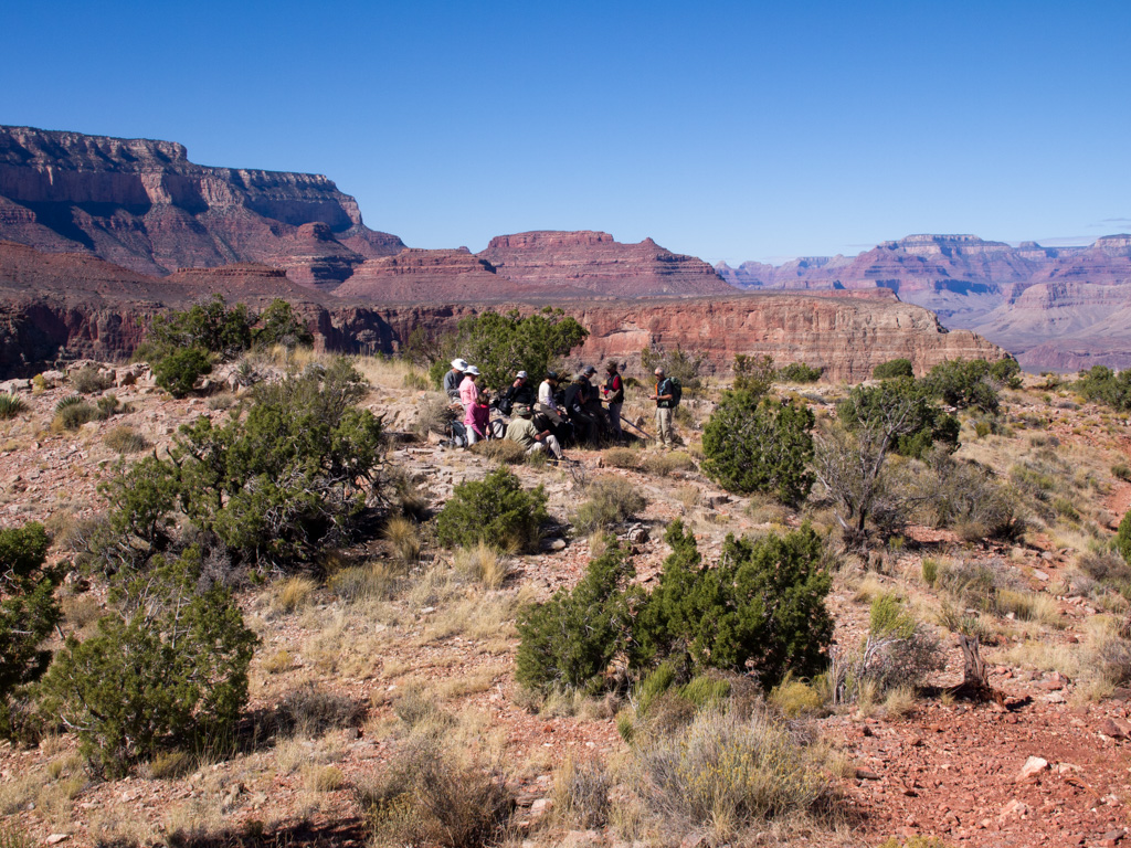
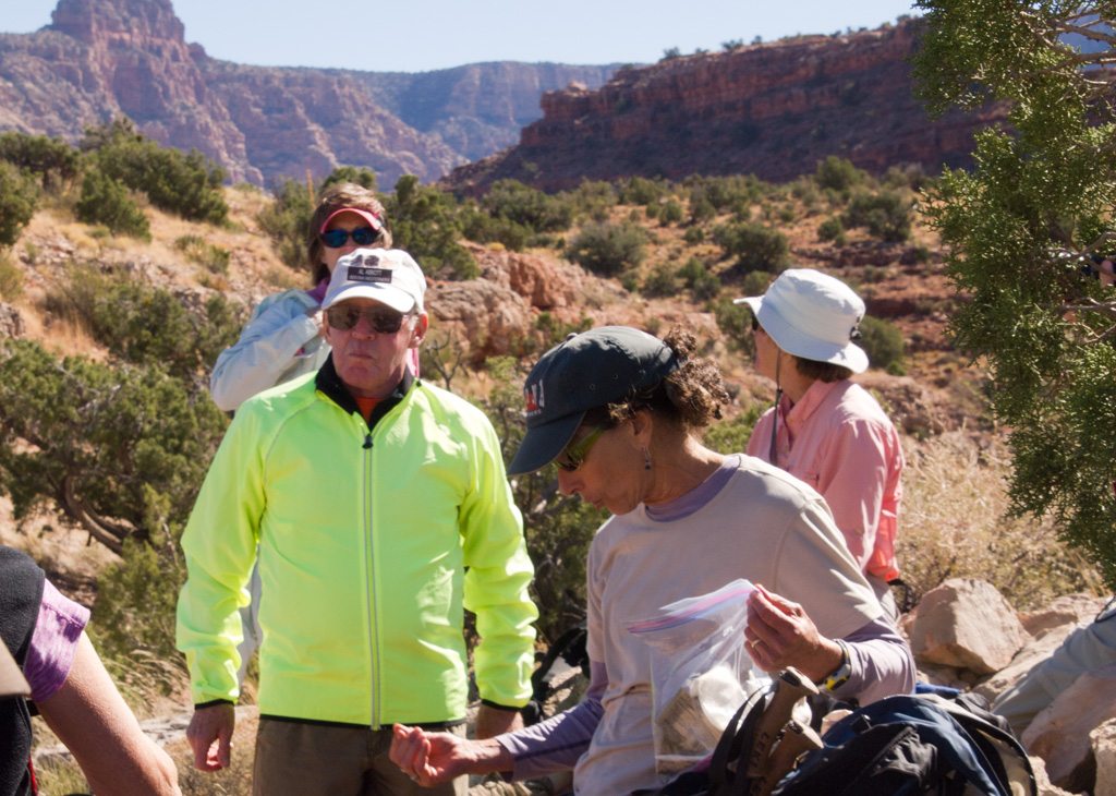
56 Pause for a group shot
57
58
59
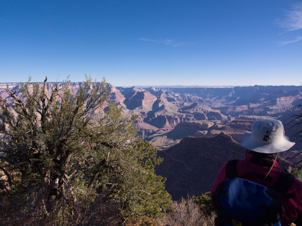
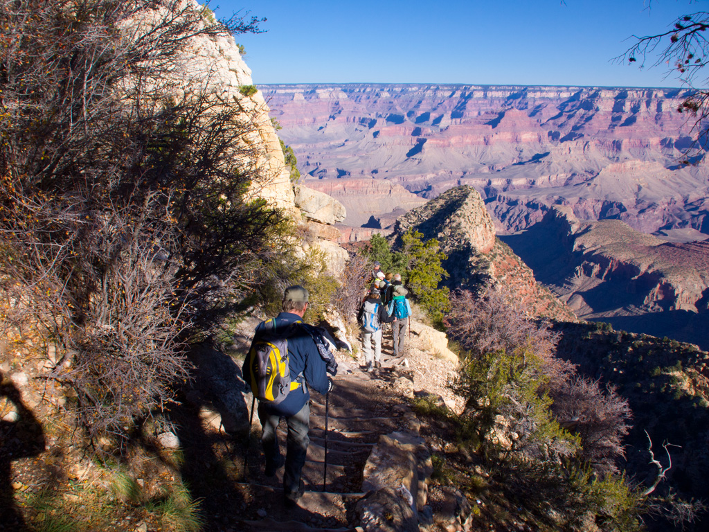
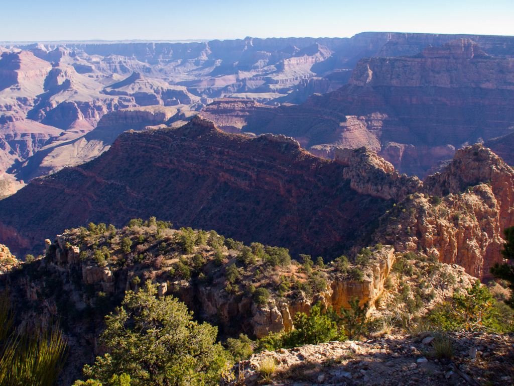
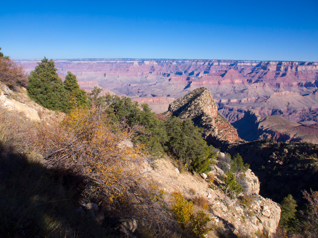
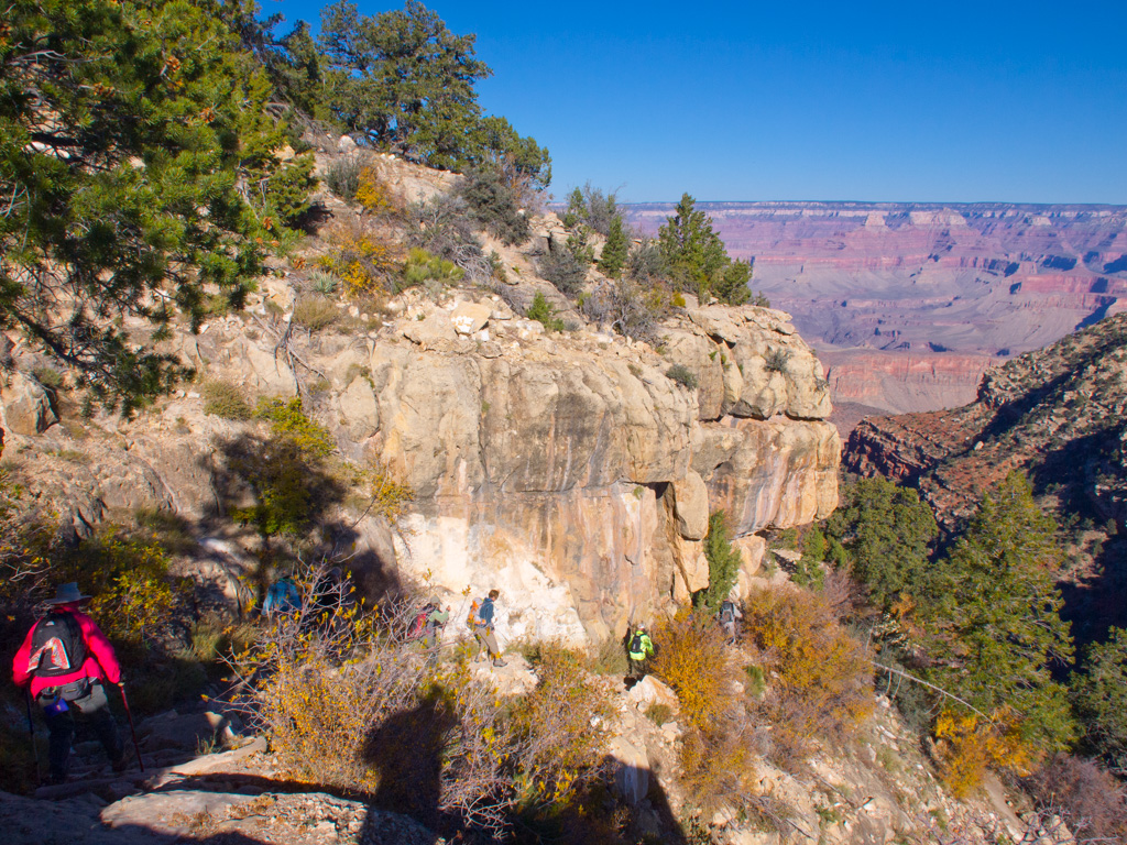
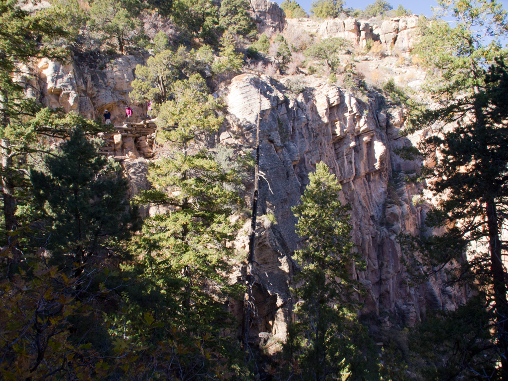
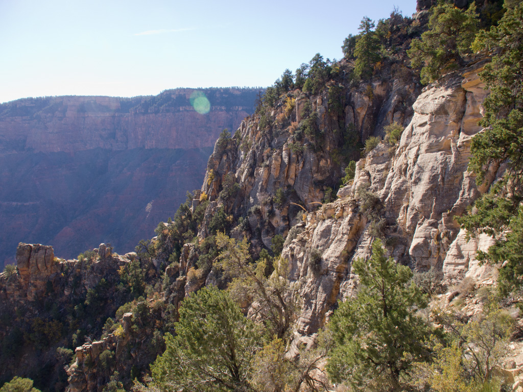
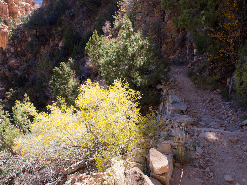
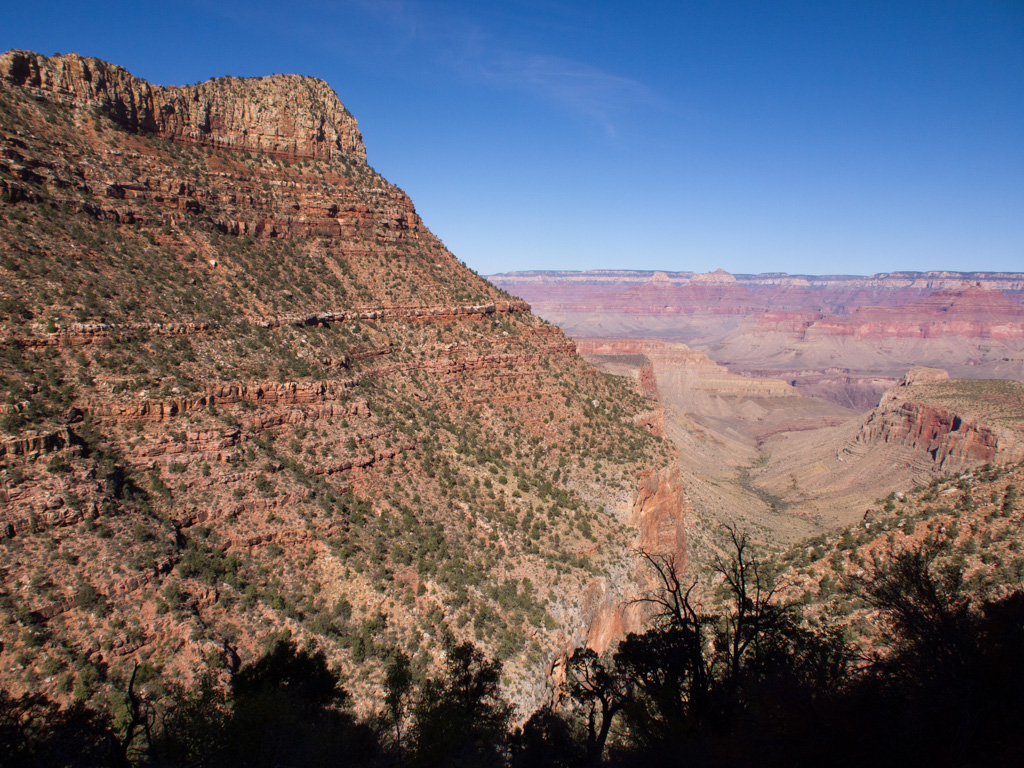
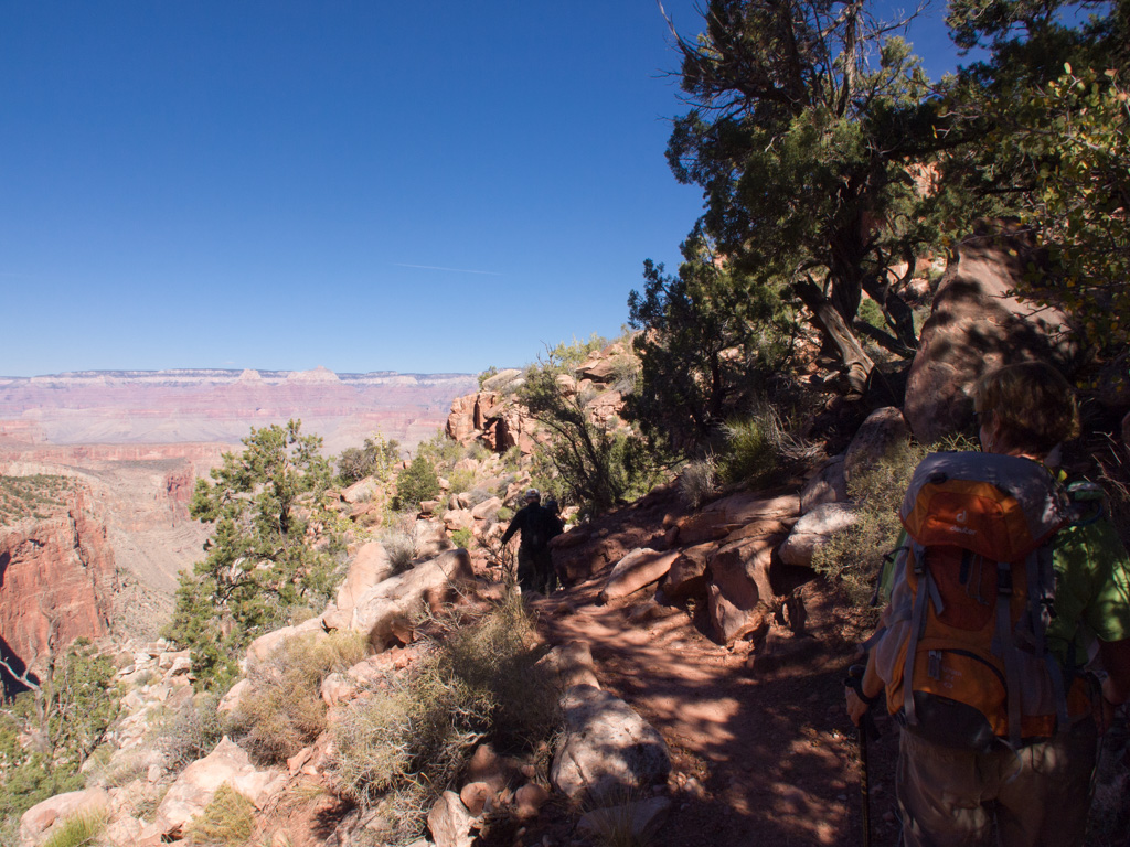
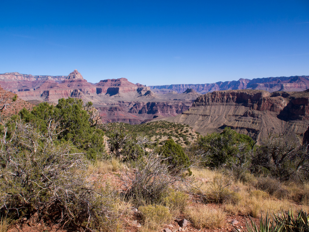
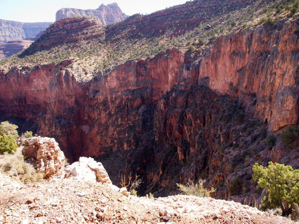
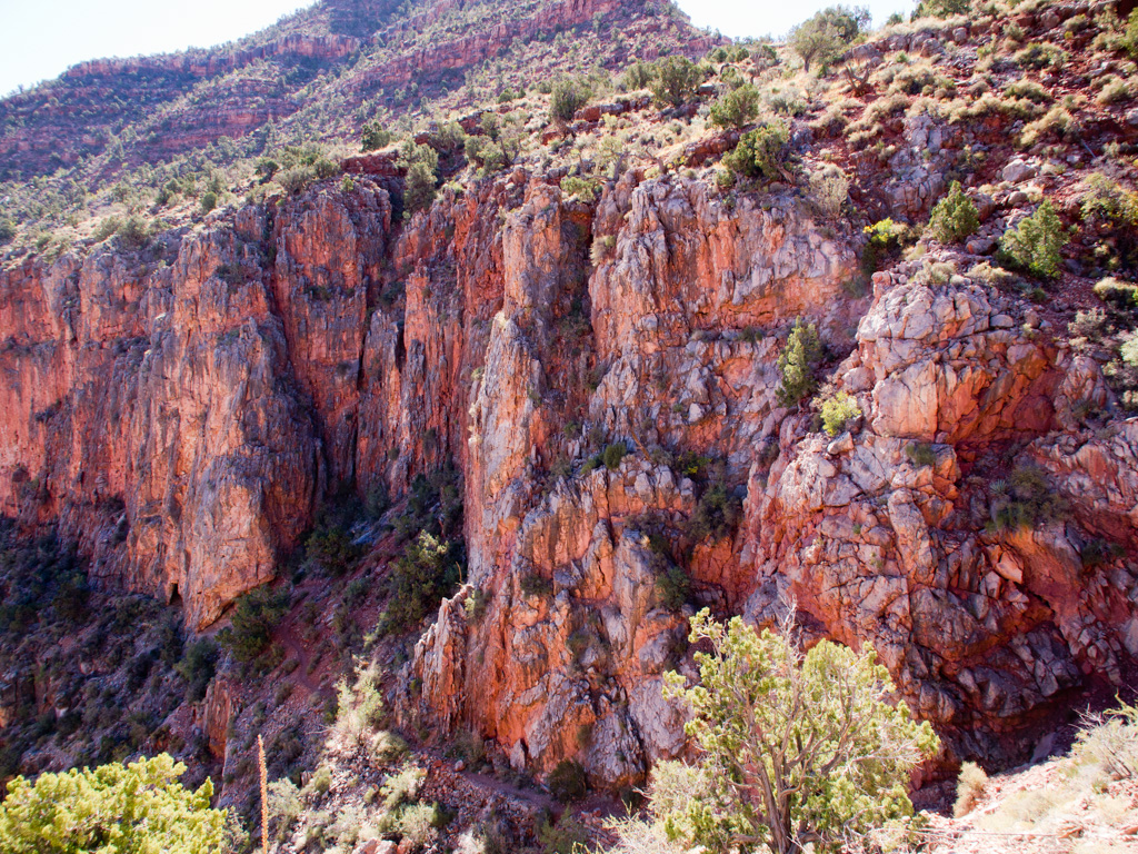
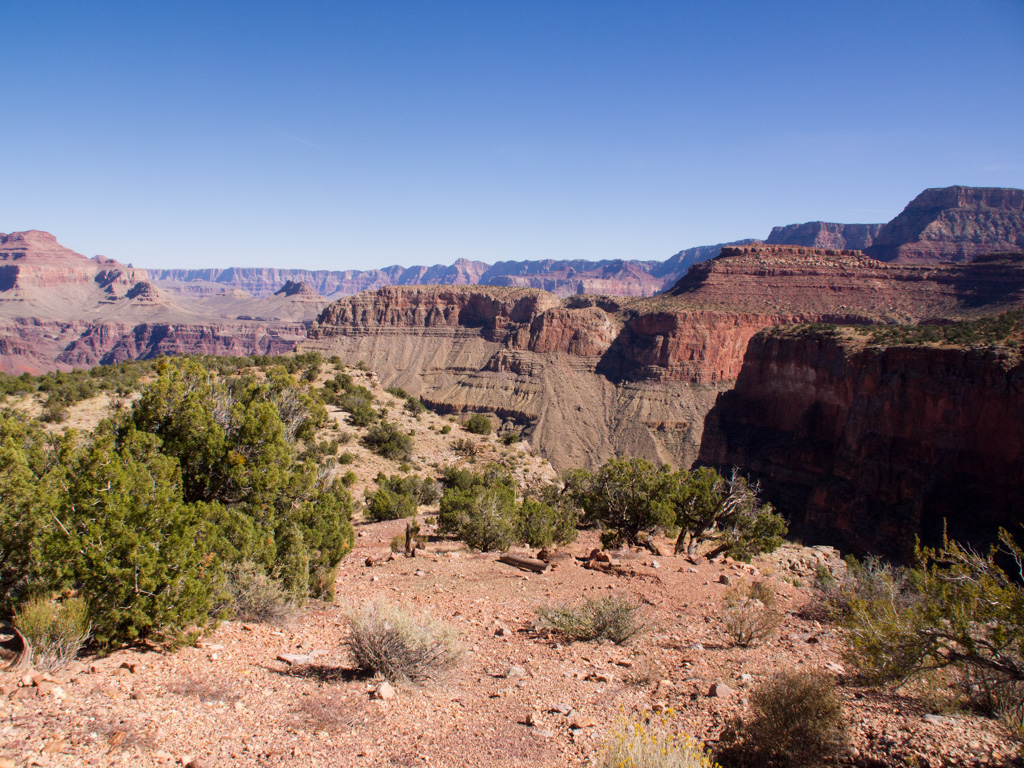
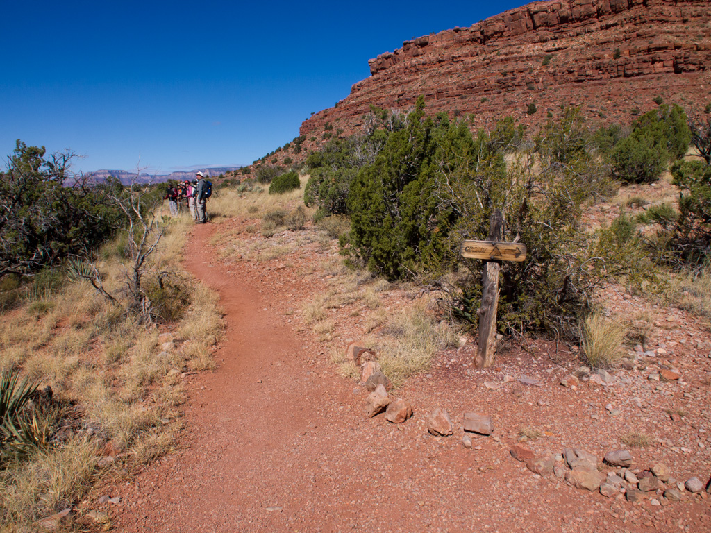
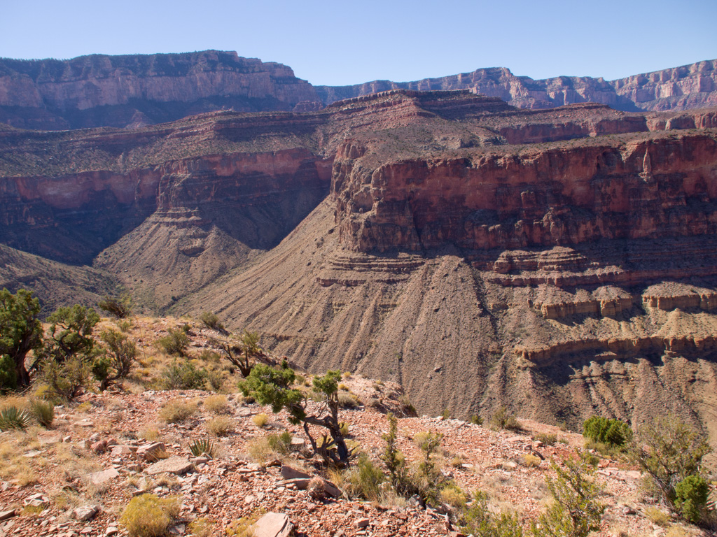
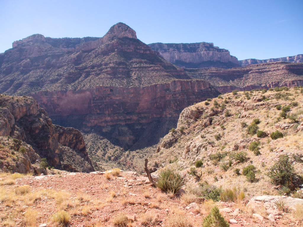
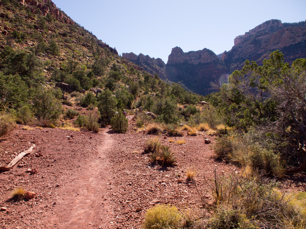
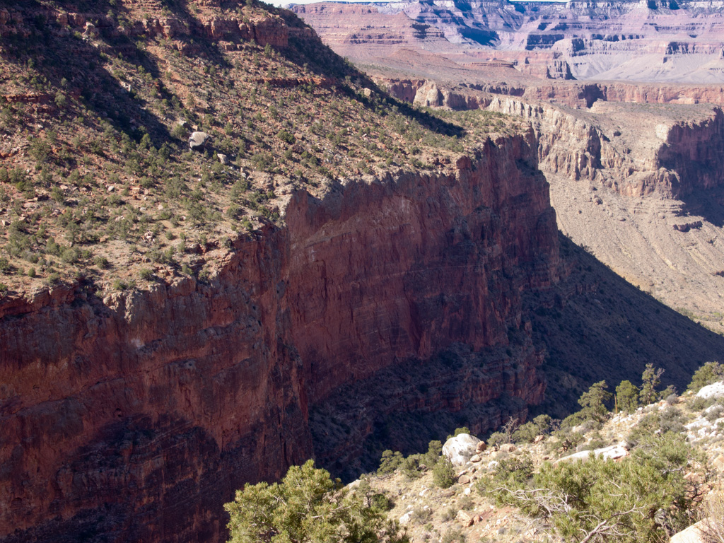
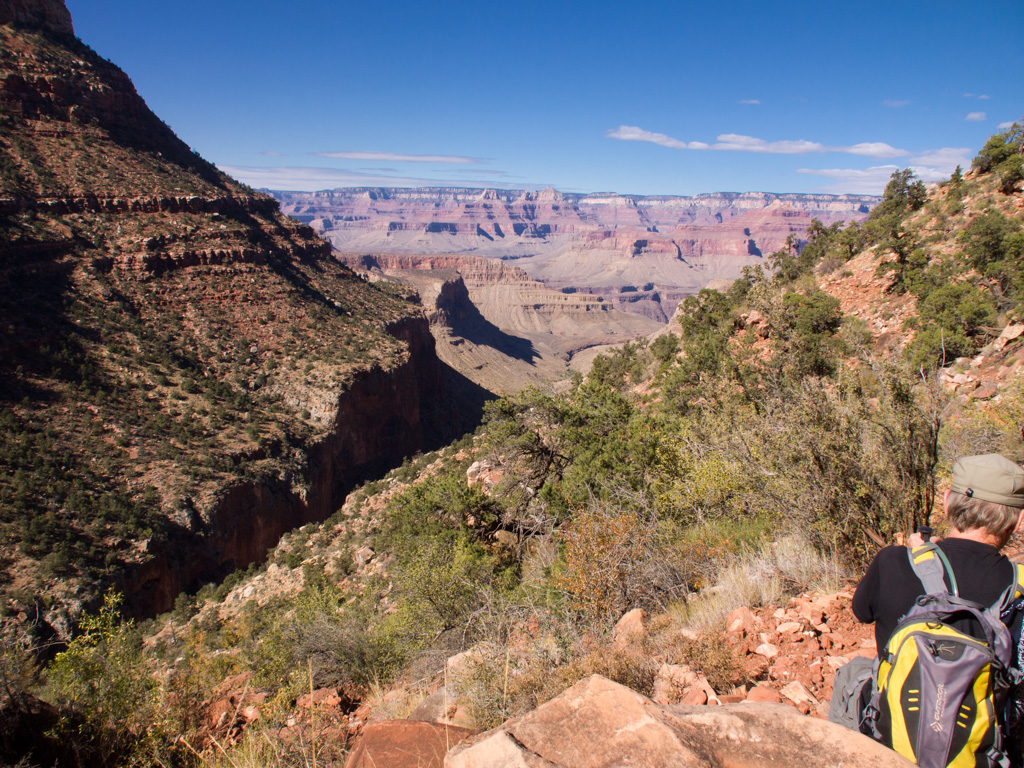
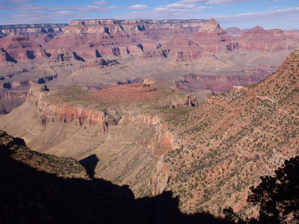
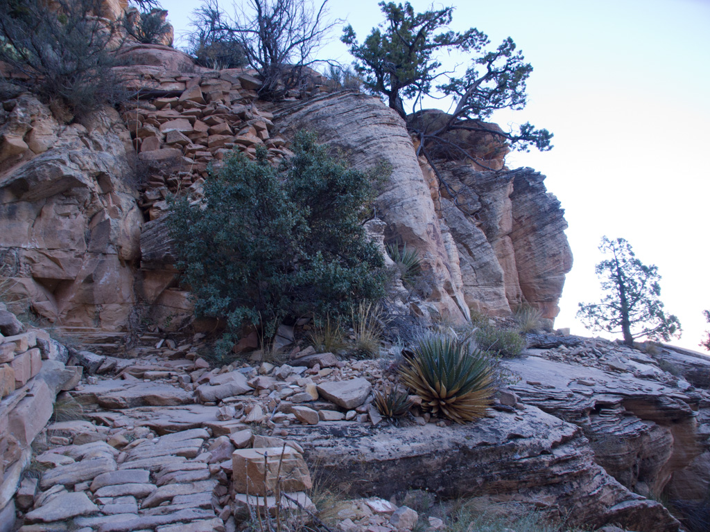
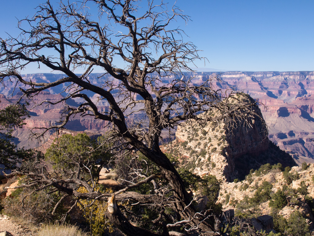
60 The trail will take us alomg the mesa on the right side of this picture
61
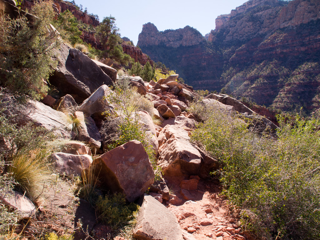
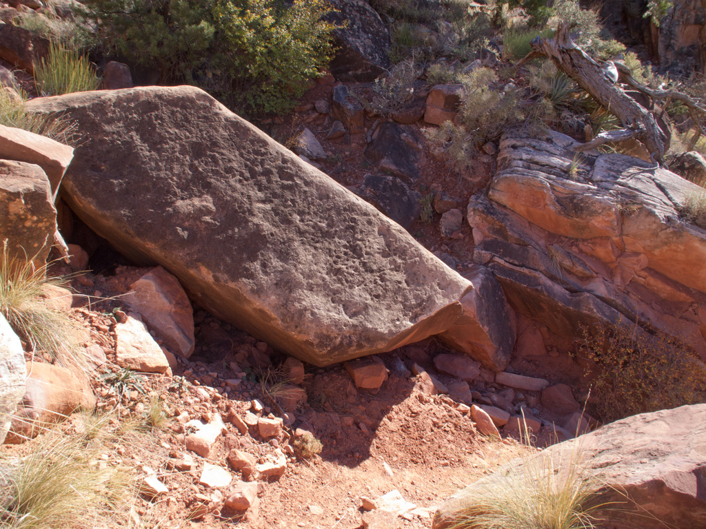
62 Starting here, a series of large rockfalls ripped out the original corduroy and makes for tough going
63
64
65
66
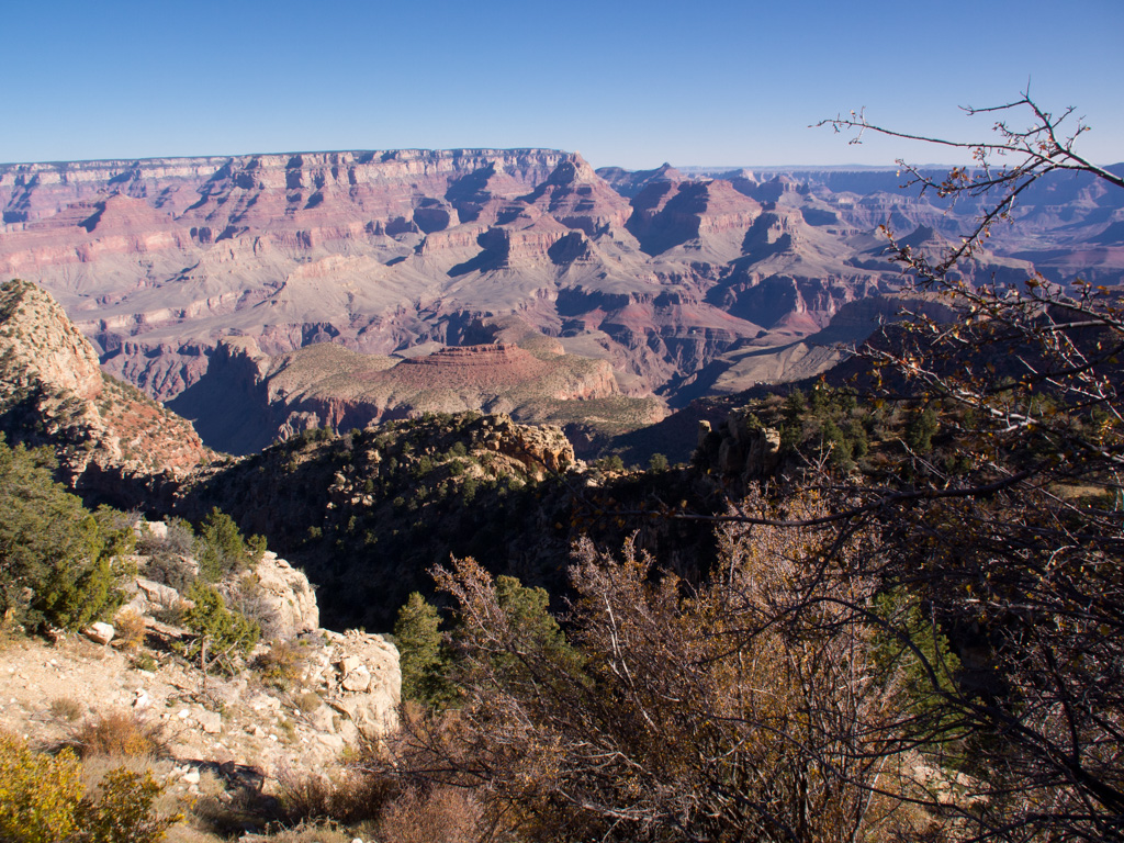
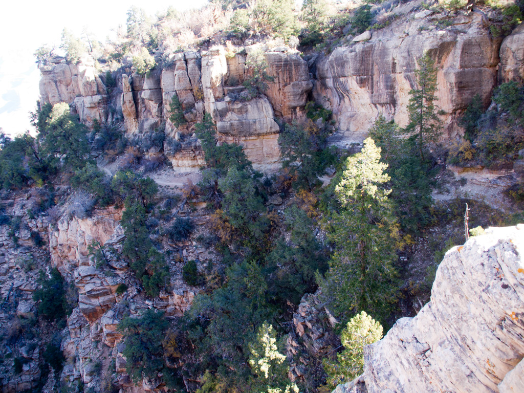
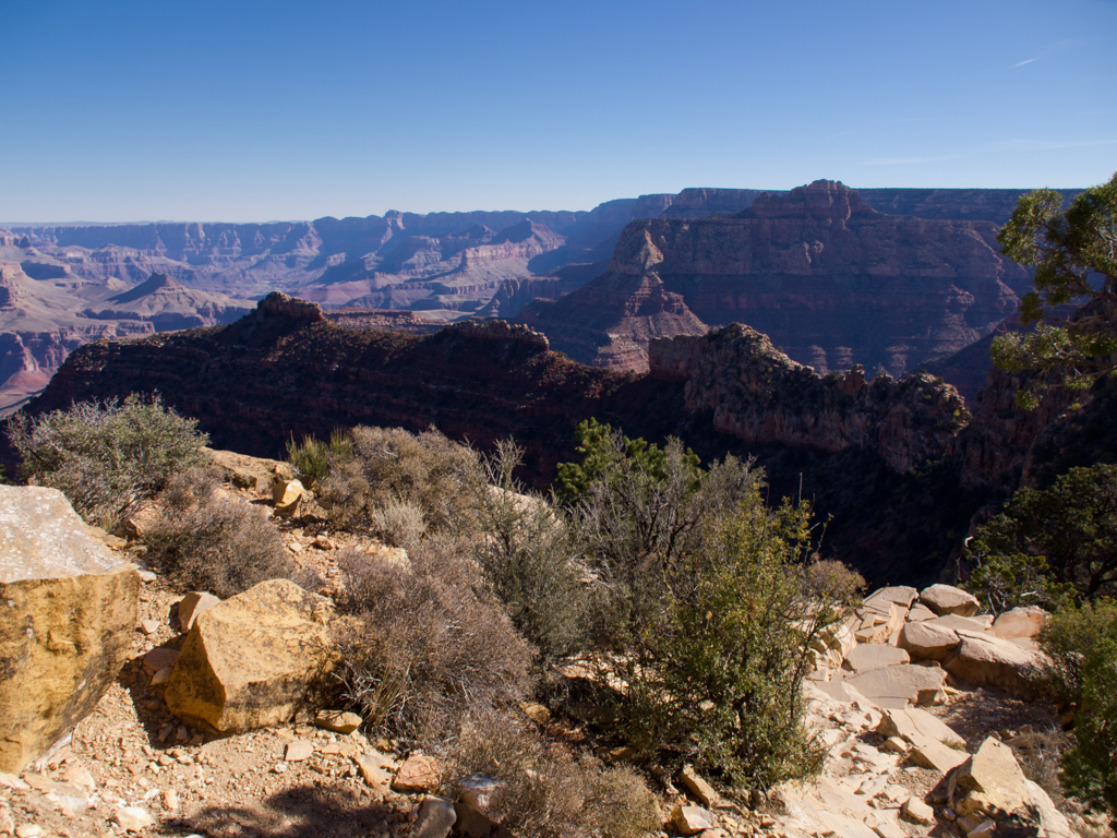
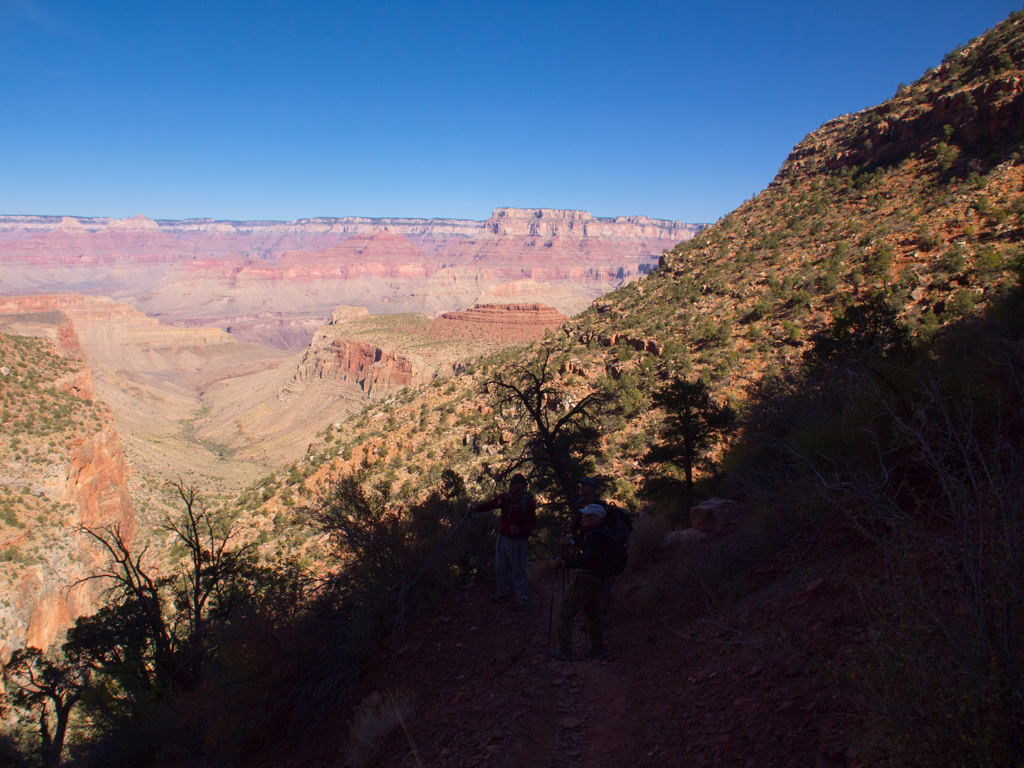
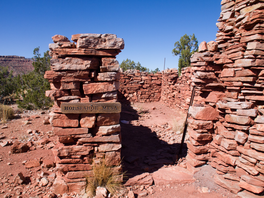
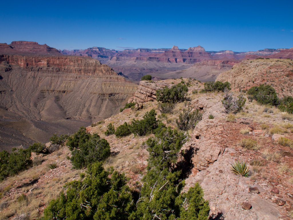
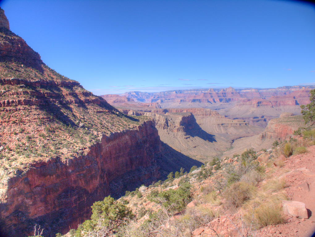
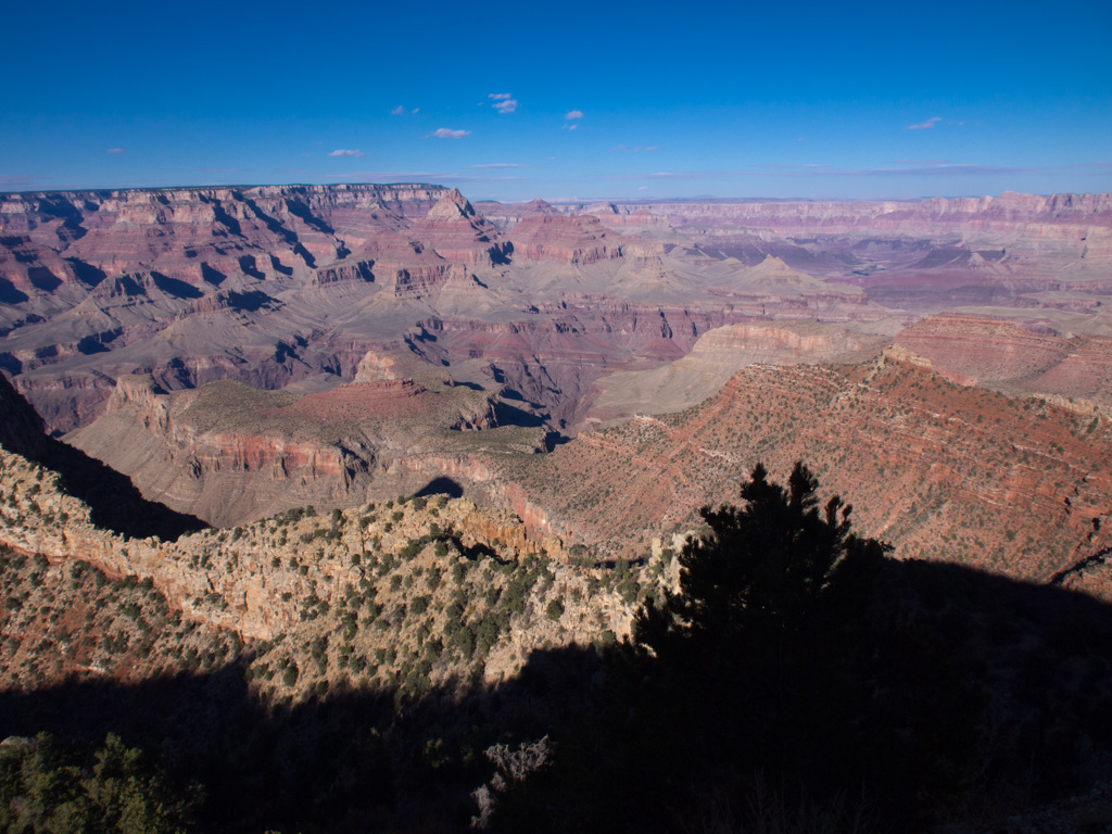
67 The trail flattens out onto Horseshoe mesa
68
69
70
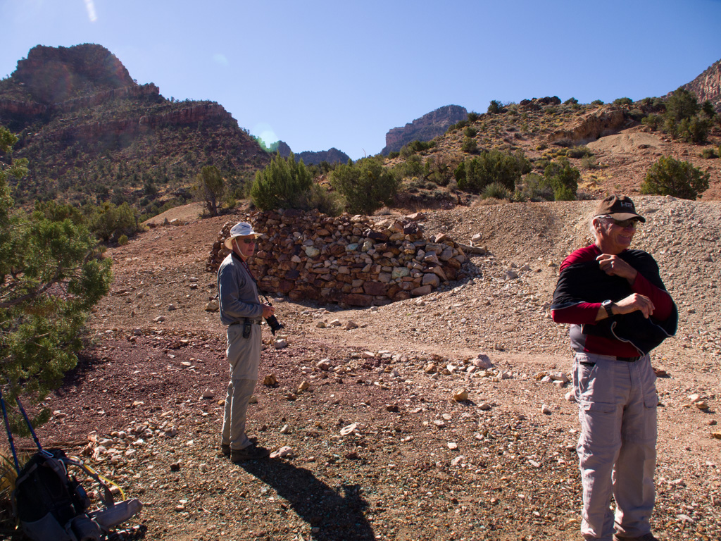
71 The Last Chance Mine. The original shafts are now mostly backfilled, and a new helipad has been constructed right behind us
72
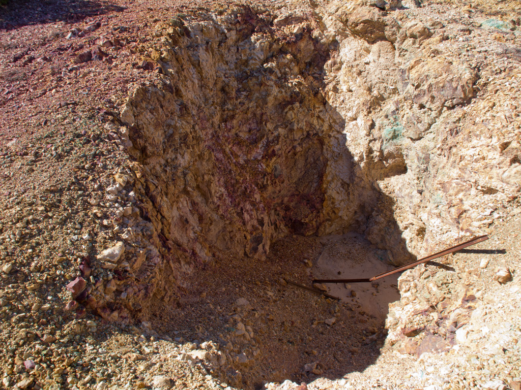
73 Backfilled shafts. Though the mining operation was for copper, there is considerable uranium mixed with it, leading to radiation hazard postings in the area
74
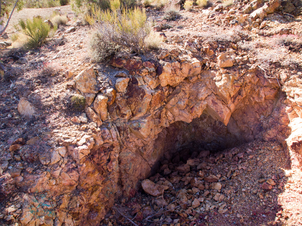
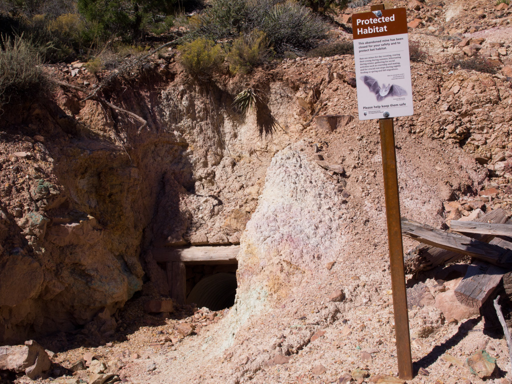
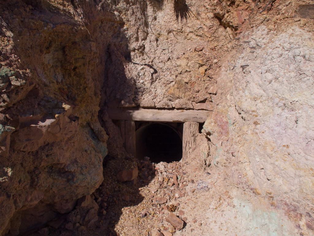
75 Vesiges of the old shafts are kept open for bats
76
77
78
79
80
81
82
83
84
85
86
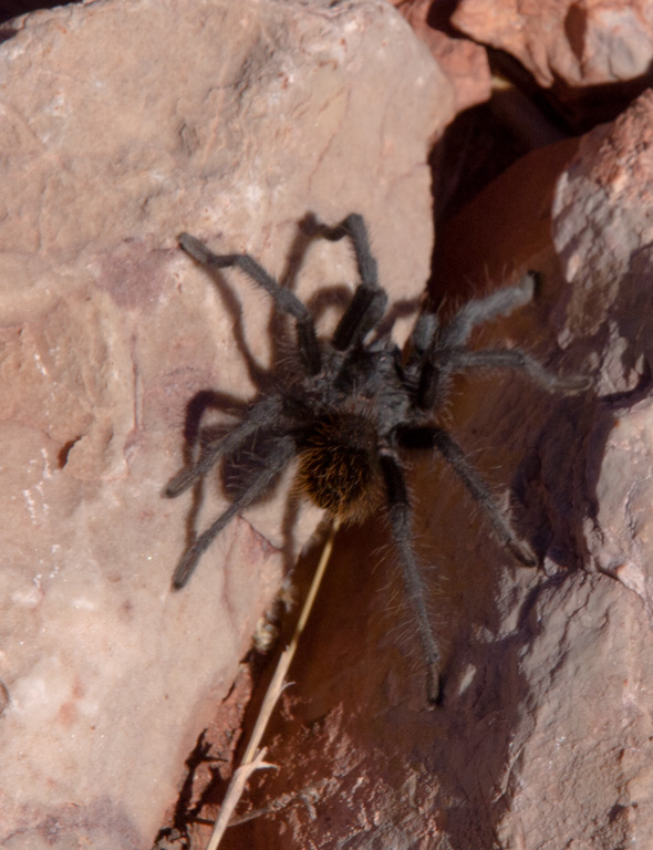
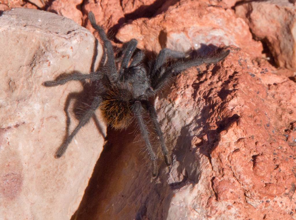
87 A black tarantula
88
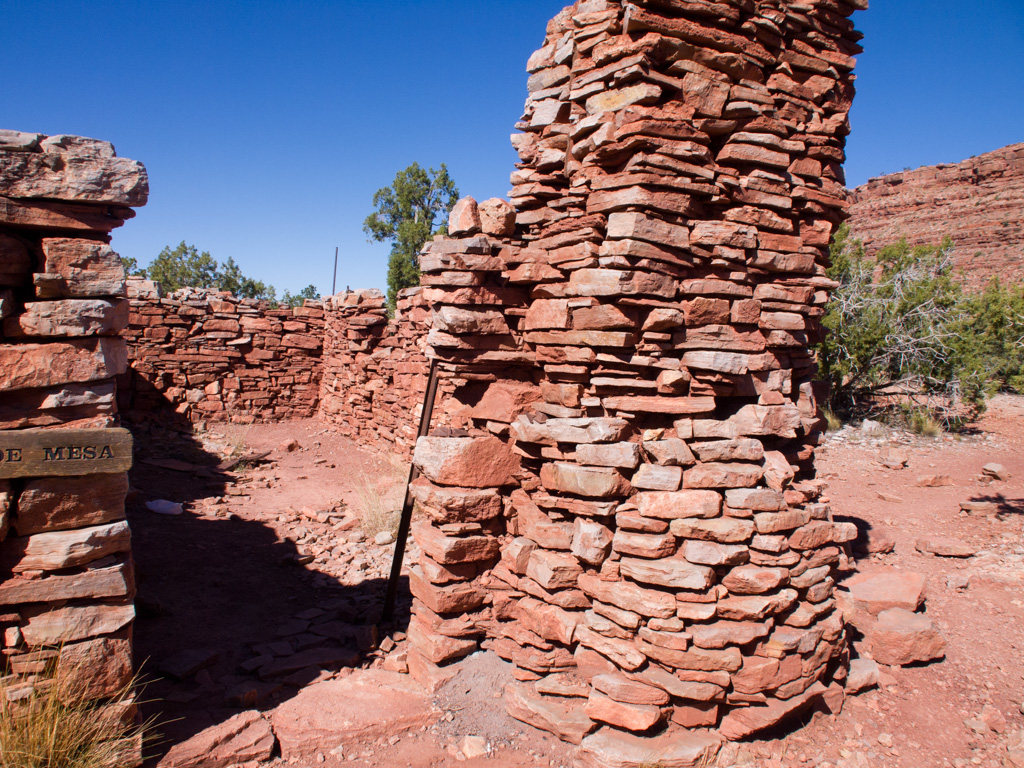
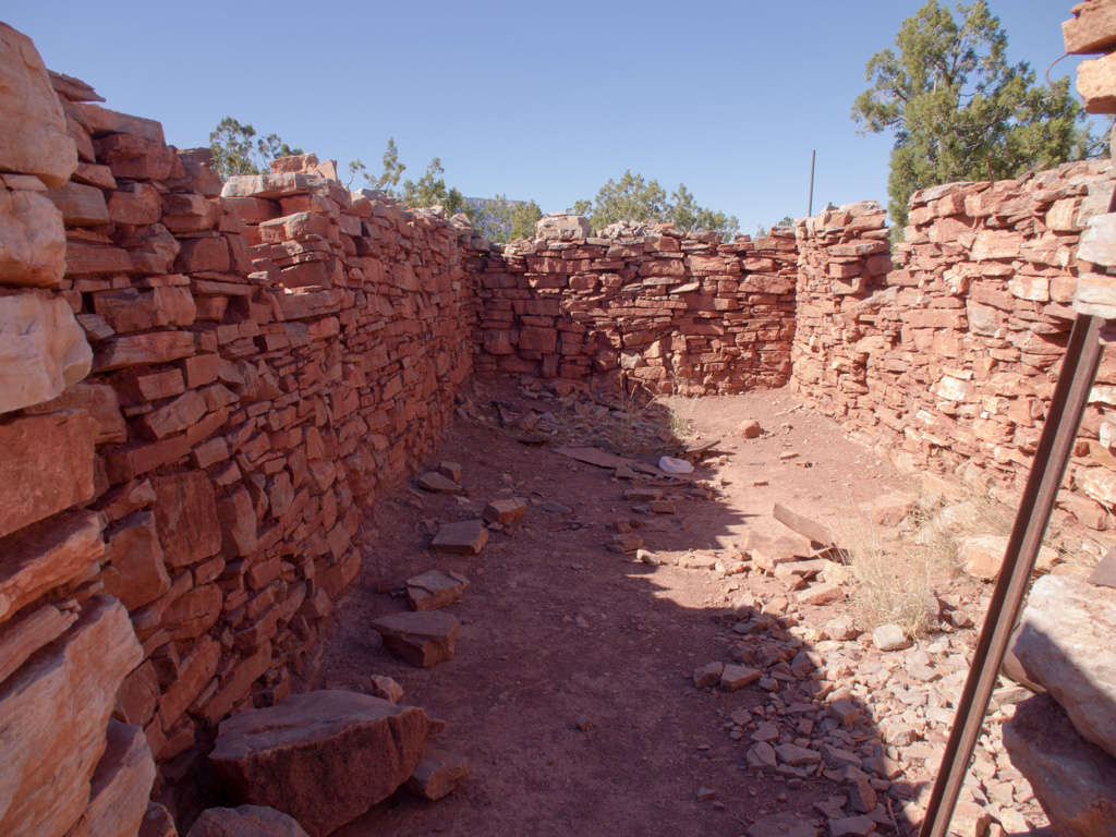
89 These were built as bunkhouses for the miners
90
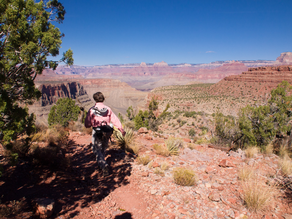
91 We head out to the northern end of the mesa
92
93
94
95
96
97
98
99
100
101
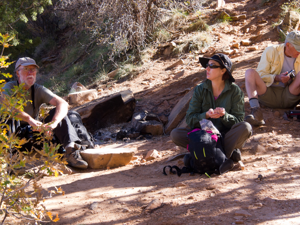
102 Our lunch stop and turnaround. We come out by the same route.
103
104
105
106
107
108
109
110
111
112
113
114
115
116
117
118
119
120
121 The rockfalls, many of them from the big storm of 2005, make for the toughest going
122
123
124
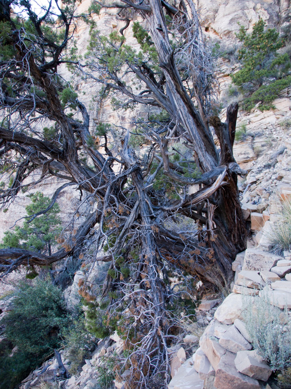
125 Rich plant life at a seep
126
127
128
129
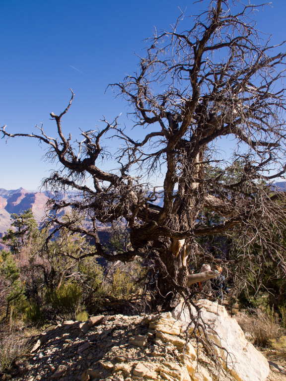
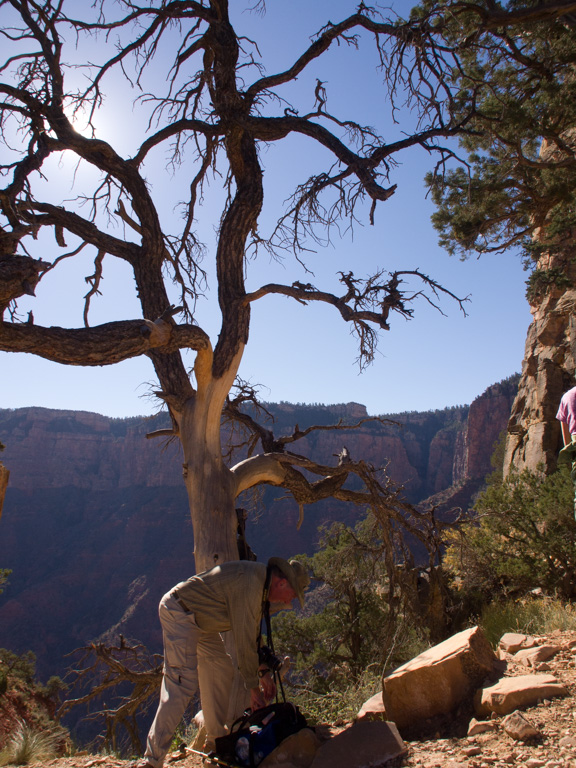
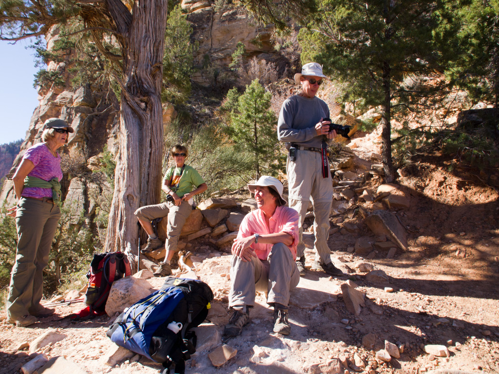
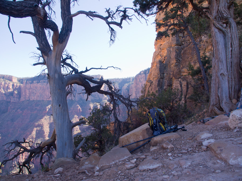
130 Back at the photo tree!
131
132
133
134
135
136
137
138
139
140
141
142
143
144
145
146
147
148
149
150 In the Canyon, the last part is always the steepest